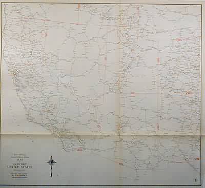
Standard Highway Milage Map of South West United States
In stock
The 1936, sixty-seventh edition of the “Rand McNally Commercial Atlas and Marketing Guide” is unique in its inclusion of informative details. This black and white map shows the highway milage between points in the south-western United States. The names of towns along highways are shown in black and state boarders and principal cities are shown in red.
Size: 30 x 27 inches
Condition: Very Good-age toning, small splits at folds
Map Maker: Rand McNally & Co.
Coloring: Machine Color
Year: 1936
Condition: Very Good-age toning, small splits at folds
Map Maker: Rand McNally & Co.
Coloring: Machine Color
Year: 1936
In stock


