Sumner, New Zealand
In stock
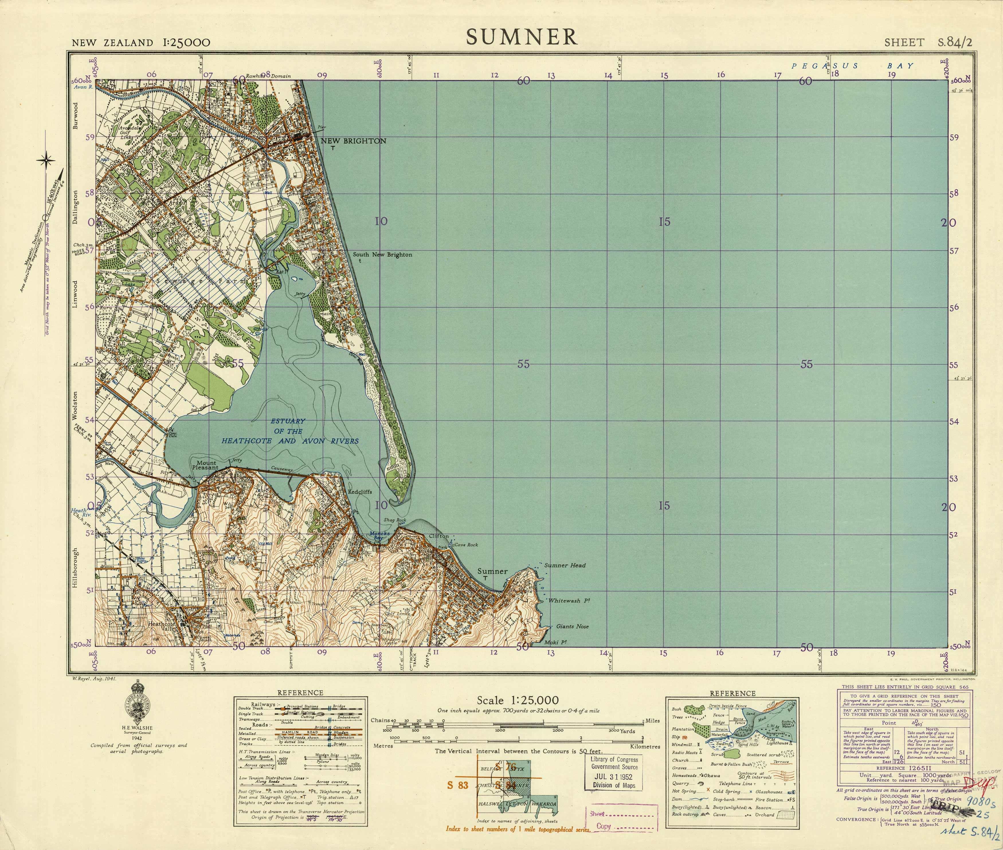
This highly detailed topographic map of Sumner, New Zealand was compiled from surveys for New Zealands Lands and Survey, published in 1942. Land contours and topographic details are included as well as roads, railways, buildings, trees, quarry’s, hot springs, orchards, lakes, rivers, swamps, and more. This map covers the region from Sumner up to New Brighton right along the eastern coast. This map is printed on thicker canvas-like material and is a stiff structure.
Size: 24 x 20.5 inches
Condition: Very Good, multiple library and government stamps
Map Maker: New Zealand Lands and Survey
Coloring: Printed Color
Year: 1942
Condition: Very Good, multiple library and government stamps
Map Maker: New Zealand Lands and Survey
Coloring: Printed Color
Year: 1942
In stock


