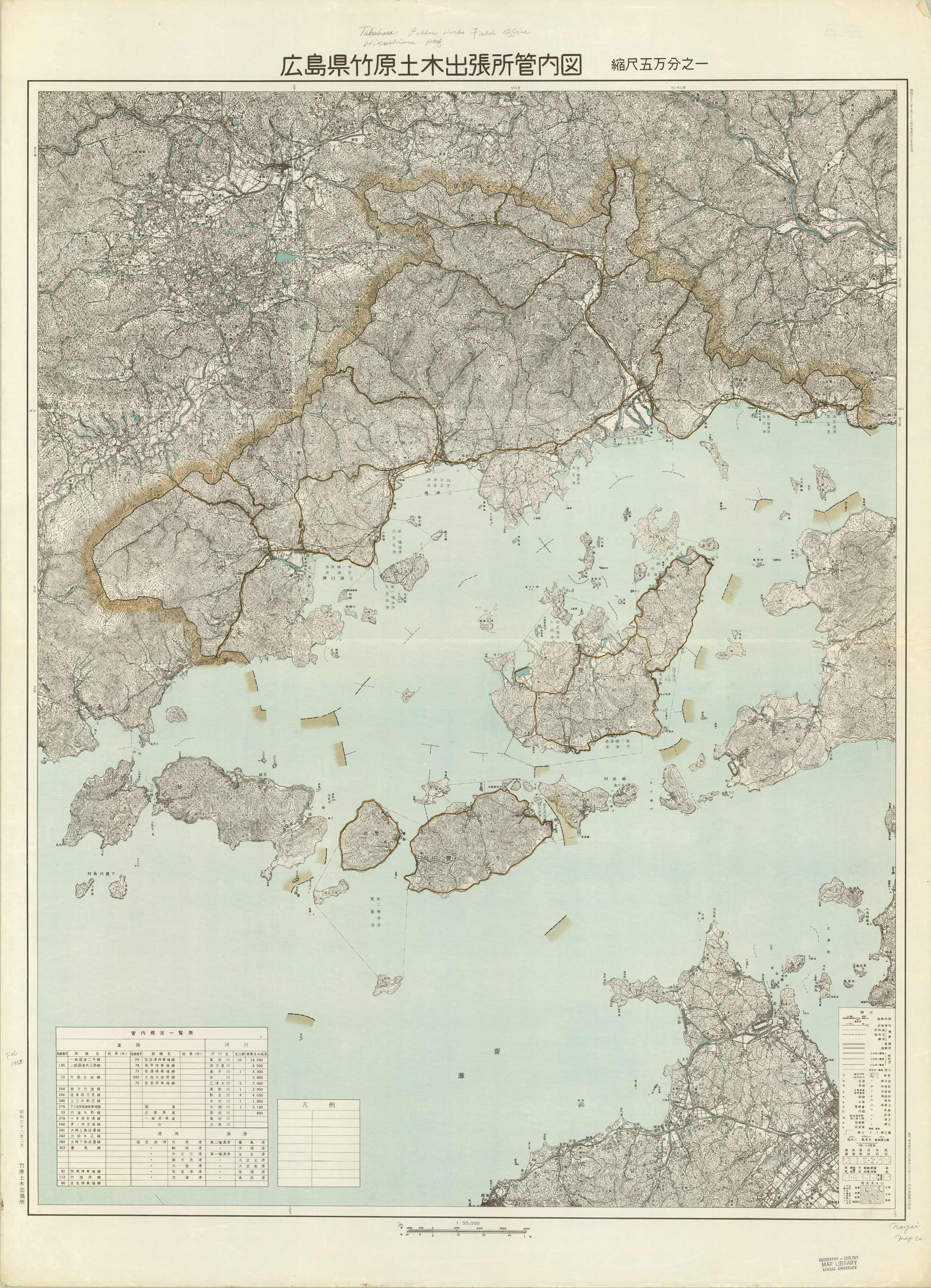
[Takehara, Japan]
In stock
This topographic, foreign map of Japan is written all in Japanese (with some translation written in pencil beside the symbols – this writing was already on map, we did not translate.) This map covers Takehara, Hiroshima Prefecture, and shows as far south as Osaki-Shimozima Island and the city of Hashihama, and between Mt. Ohira to a portion of Omishima. It has a great topographic detail and would be perfect for any Japan lover. The soft blue-green ocean color makes this map stand alone. If anyone has any additional information on this map, please feel free to contact us.
Size: 29 x 38.5 inches
Condition: Good, light age toning, pencil handwritten translations, library stamp
Map Maker: Naigai Map Company (written translation on map)
Coloring: Printed Color
Year: 1962
Condition: Good, light age toning, pencil handwritten translations, library stamp
Map Maker: Naigai Map Company (written translation on map)
Coloring: Printed Color
Year: 1962
In stock


