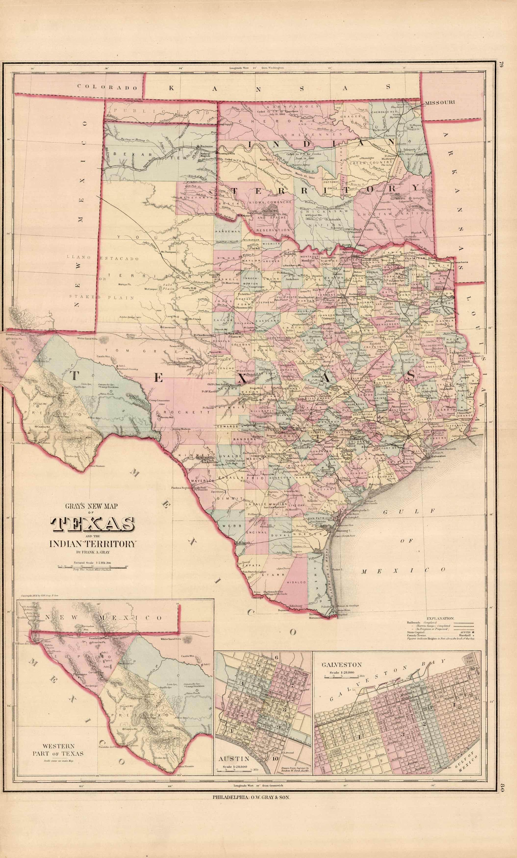
Gray’s 1876 Map of Texas and the Indian Territory
In stock
This remarkable map of Texas and the Indian Territory was issued as part of Ormando W. Gray’s “Atlas of the United States with General Maps of The World Accompanied by Descriptions Geographical, Historical, Scientific and Statistical”. O.W. and various partners published atlases from around 1871 – 1889. We love his maps and the wonderfully precise hand-coloring he and his firm turned out.
Size: 17 x 28.5 inches
Condition: Very Good
Map Maker: O.W. Gray & Son
Coloring: Original Hand Coloring
Year: 1876
Condition: Very Good
Map Maker: O.W. Gray & Son
Coloring: Original Hand Coloring
Year: 1876
In stock


