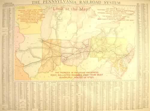
The Pennsylvania Railroad System
In stock
This large format map was published in Rand McNally & Co.s Indexed Atlas of the World, dated 1911. This map details The Pennsylvania Railroad System.
Size: 19.5 x 12.5 inches
Condition: Good - Map has small folds in upper part of picture
Map Maker: Rand McNally & Compnay
Coloring: Printed Color
Year: 1911
Condition: Good - Map has small folds in upper part of picture
Map Maker: Rand McNally & Compnay
Coloring: Printed Color
Year: 1911
In stock


