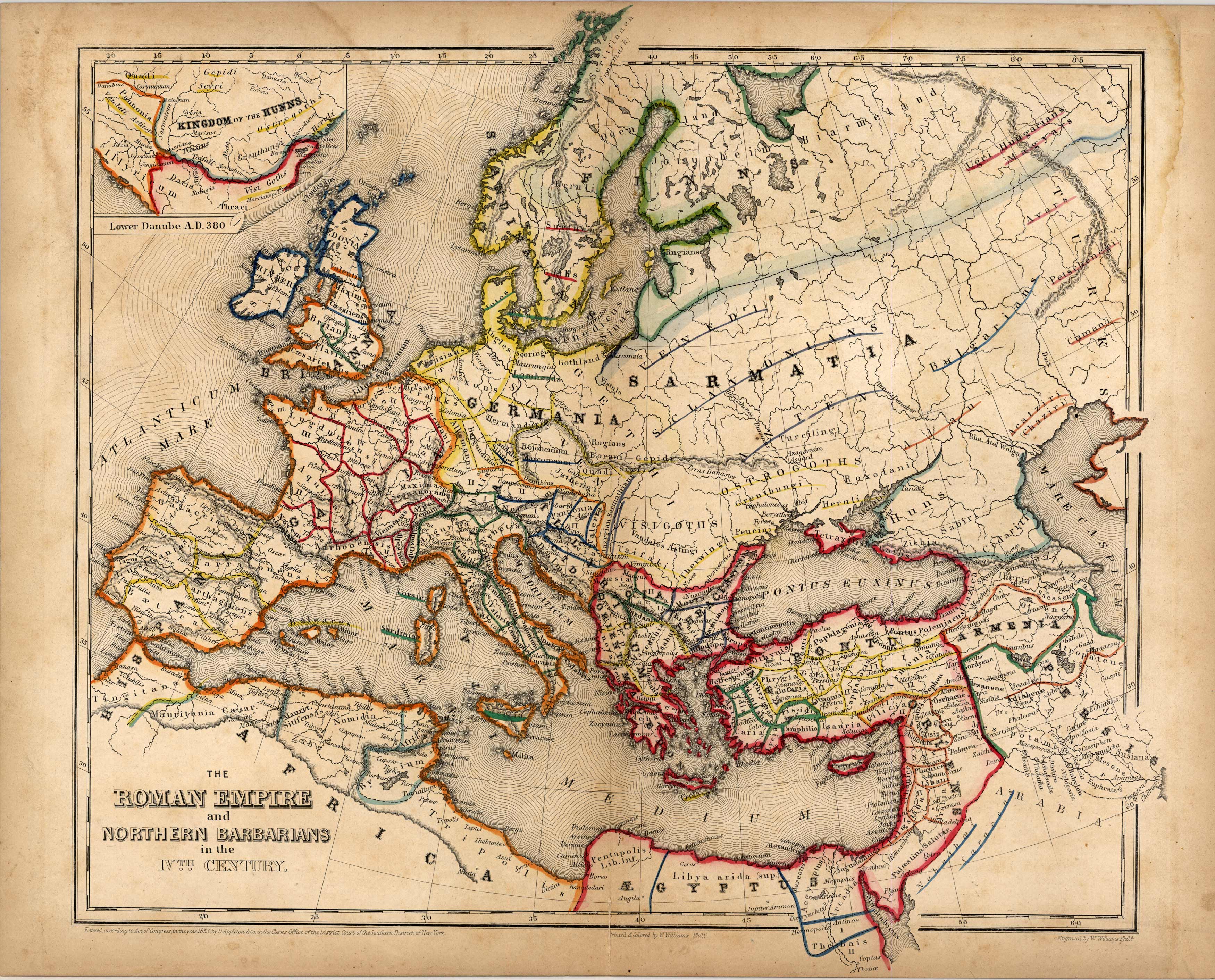
The Roman Empire and the Northern Barbarians in the 4th Century
In stock
This is a series of six general maps from Adolphus Louis Koeppens 1853 Historico – Geographical Atlas of The Middle Ages. Very rare and colorful depiction of The Middle Age delineating the migrations of the Northern and Eastern Nations; together with the States arising from their fusion with the Ancient Roman Empire in Europe, Western Asia, and Northern Africa. This map illustrates the Roman Empire and the Barbarian nations toward the close of the Fourth Century, immediately before the invasion of the Huns, A.D. 375. There is also a small inset of the Kingdom of the Huns, Lower Danube, A.D. 380′
Size: 14.75 x 13.25 inches
Condition: Very Good
Map Maker: Adolphus Louis Koeppen
Coloring: Full Outline Color
Year: 1853
Condition: Very Good
Map Maker: Adolphus Louis Koeppen
Coloring: Full Outline Color
Year: 1853
In stock


