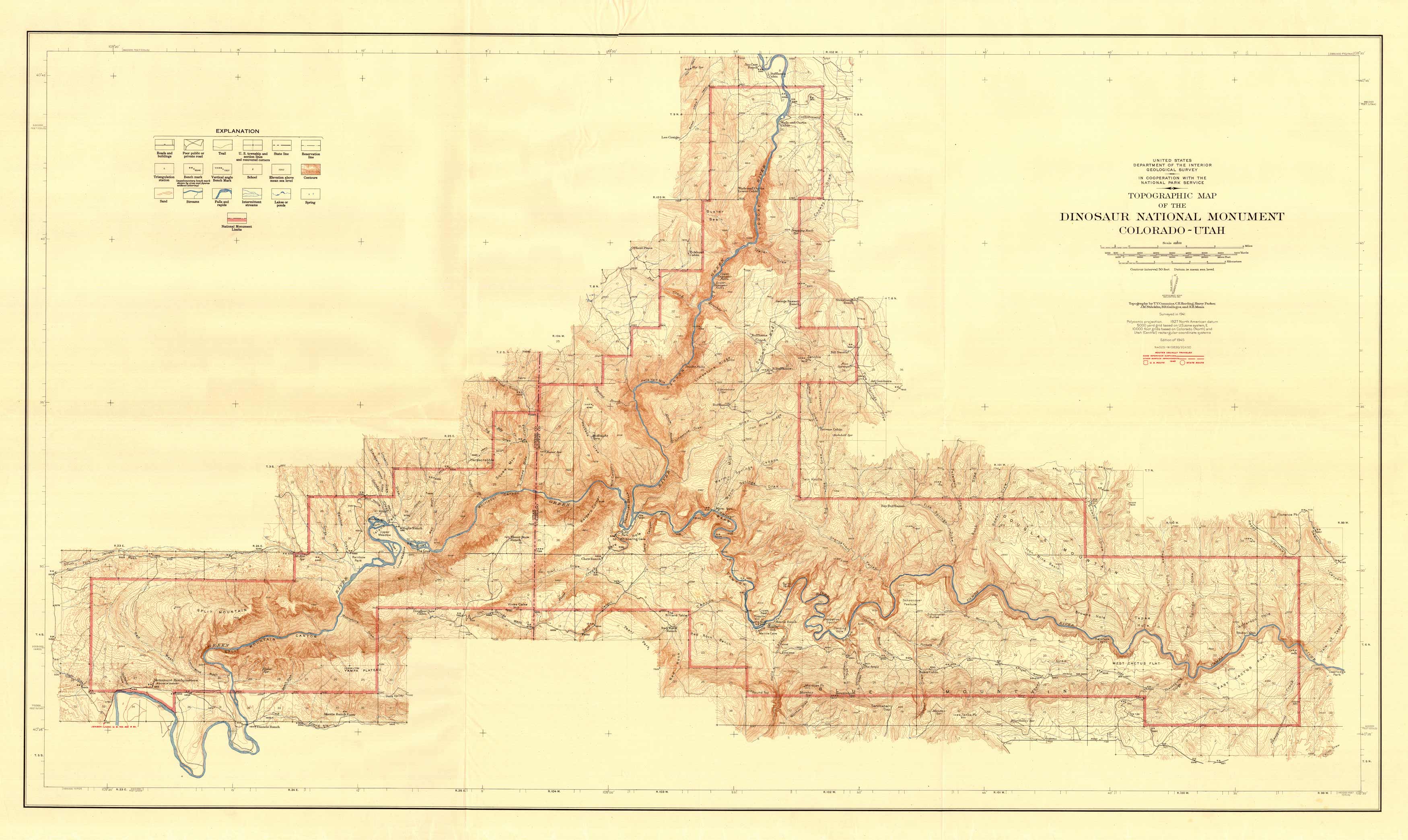
Topographic Map of the Dinosaur National Monument, Colorado – Utah
Out of stock
This “Topographic Map of the Dinosaur National Monument, Colorado – Utah” was published in 1945 by the Geological Survey in cooperation with the National Park Service from 1941 surveys. The map is highly detailed, showing roads, buildings, trails, U.S. township and section lines and recovered corners, state lines, reservation lines, triangulation stations, bench marks, schools, elevation points and contours, sand, streams, falls and rapids, intermittent streams, lakes, ponds, springs, and National Monument limits.
Size: 48.5 x 28 inches
Condition: Very Good - slight staining, paper distress
Map Maker: United States Geological Survey / National Park Service
Coloring: Printed Color
Year: 1945
Condition: Very Good - slight staining, paper distress
Map Maker: United States Geological Survey / National Park Service
Coloring: Printed Color
Year: 1945
Out of stock


