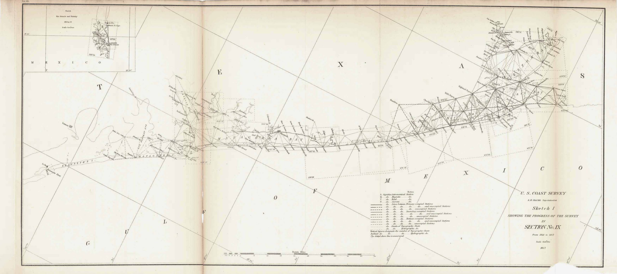
U.S. Coastal Survey; Texas Coast, 1857
In stock
This coastal survey of the Texas Coast and Gulf of Mexico was made in 1857 by the Coast Survey Office. This map features an inset sketch of the Rio Grande and Vicinity, 1853 & 56. This section of the Texas coast features primarily Matagorda Bay and Galveston Bay–the East and West Bays. However the details also include the names of cities, smaller bays, and islands along the coast. Notes on the map provide information on tides and currents.
Size: 22.75 x 10 inches
Condition: Good- repaired split at fold
Map Maker: Coast Survey Office
Coloring: Black & White
Year: 1857
Condition: Good- repaired split at fold
Map Maker: Coast Survey Office
Coloring: Black & White
Year: 1857
In stock


