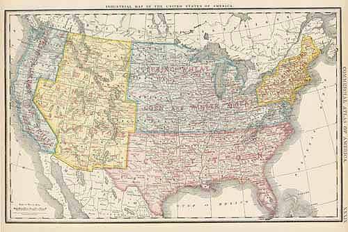
United States, Industrial Map
Out of stock
Rand McNally made this “Commercial Atlas of America” in 1920. United States is illustrated on this large, very detailed map. Cities, towns, important land forms, train stations, railroad lines, major roads, and localized industrial staples are all identified.
Size: 19 x 13 inches
Condition: Very Good - some age toning
Map Maker: Rand McNally
Coloring: Black and White
Year: 1920
Condition: Very Good - some age toning
Map Maker: Rand McNally
Coloring: Black and White
Year: 1920
Out of stock


