Alabama
In stock
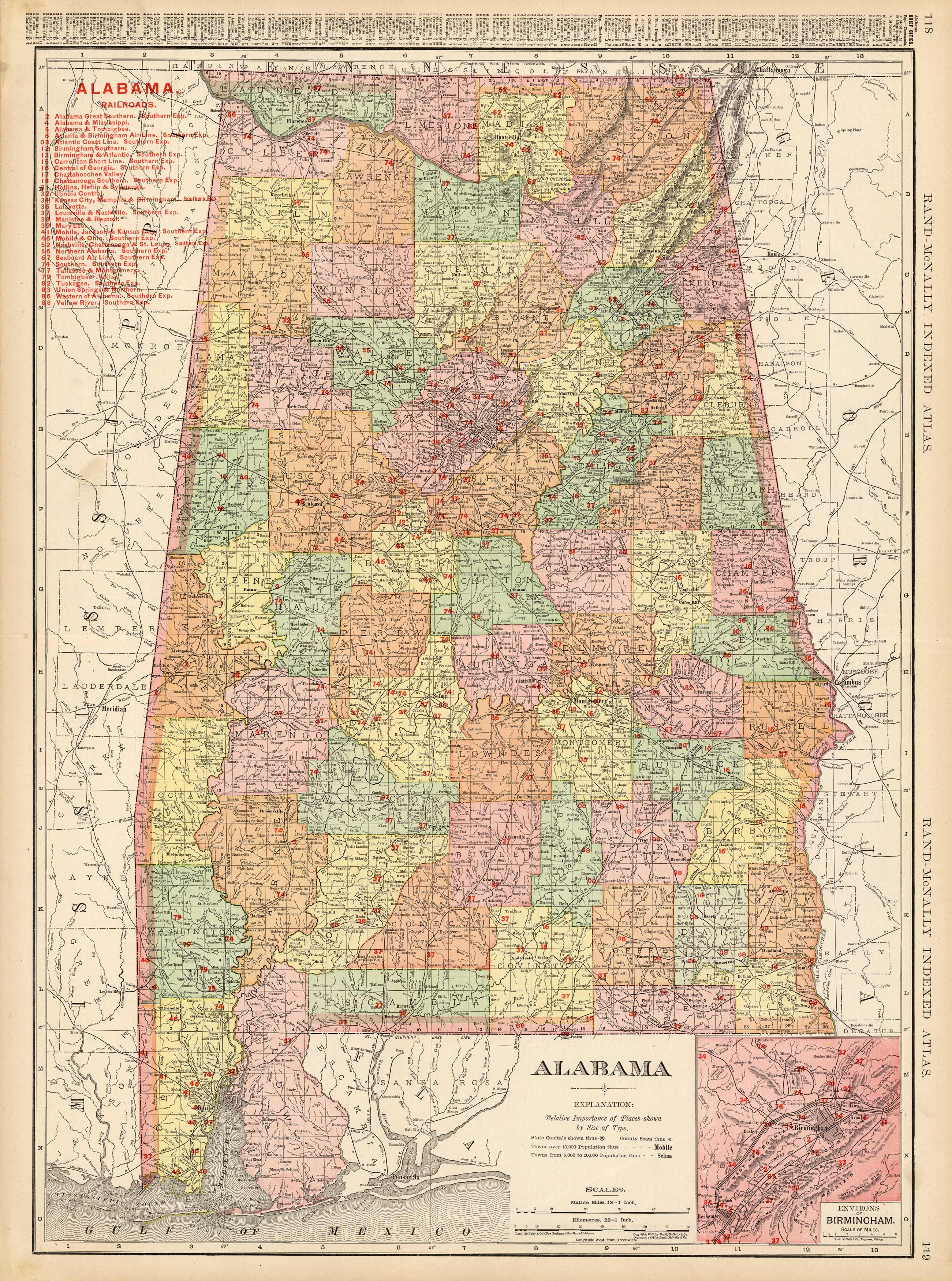
This large scale map came from the 1905 Rand-McNally Indexed Atlas. This multi-colored map of Alabama shows railroads, roads, counties, cities, towns, Indian reservations and many topographical features. All railroads operating in 1905 are shown on this map, including a detailed list of the railroads in red. Numerous small towns are shown, many of which have now become ghost towns. The back side of the map contains a referenced list of cities and their locations. This map is in very good condition and contains fantastic detailing.This map also has an inset map the Environs of Birmingham.
Size: 19 x 26 inches
Condition: Very Good
Map Maker: Rand McNally
Coloring: Printed Color
Year: 1905
Condition: Very Good
Map Maker: Rand McNally
Coloring: Printed Color
Year: 1905
In stock


