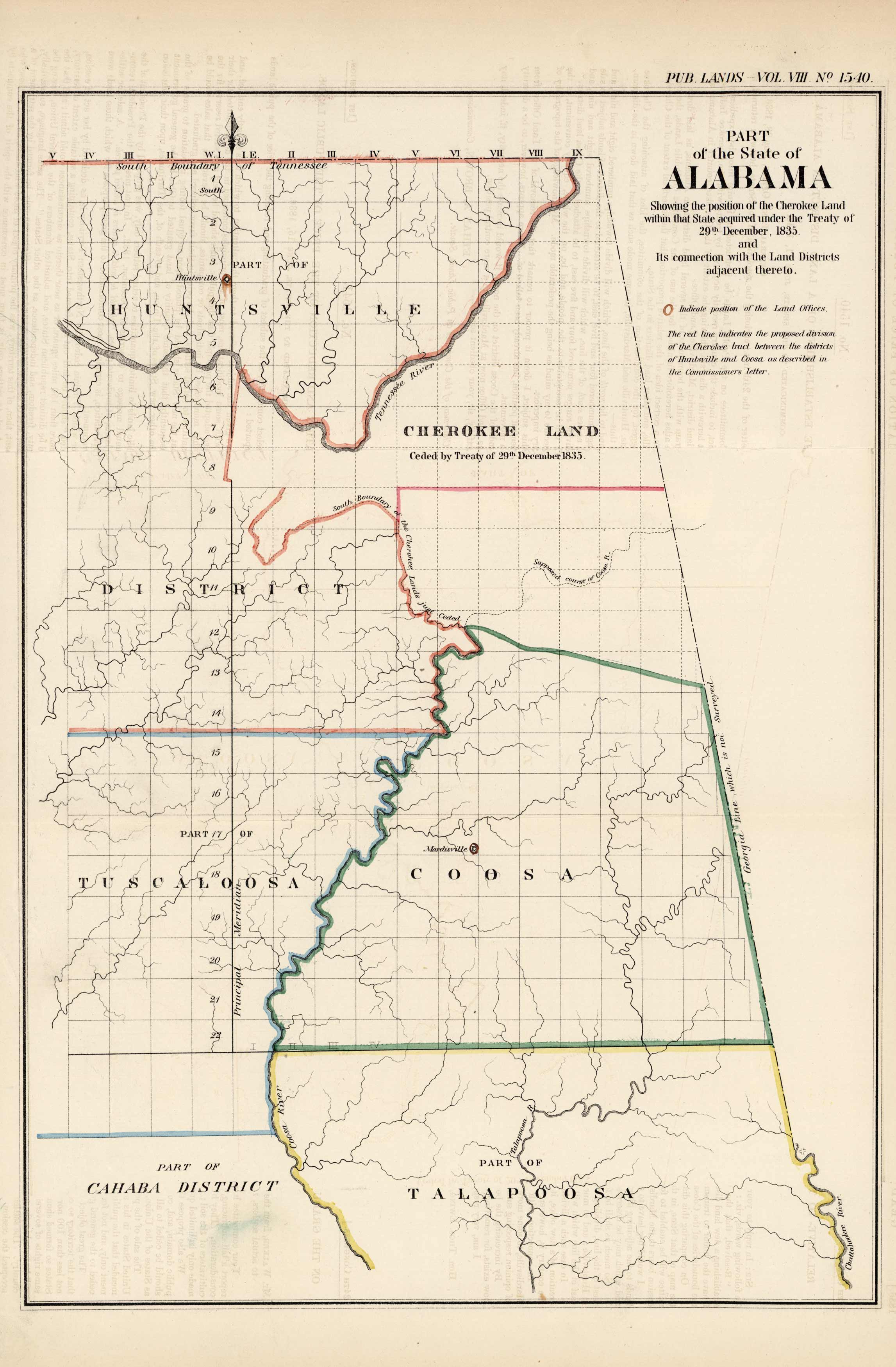
Part of the State of Alabama Showing the position of the Cherokee Land within that State acquired under the Treaty of 29th December, 1835
In stock
This wonderful map was originally printed in 1837 and was faithfully reproduced in 1861 by the U.S. Government here in the “American State Papers” – “Documents of the Congress of the United States in Relation to the Public Lands…Commencing December 8, 1835, and Ending February 28, 1837.”
Size: 10.5 x 15 inches
Condition: Very Good
Map Maker: U.S. Government
Coloring: Hand Color
Year: 1861
Condition: Very Good
Map Maker: U.S. Government
Coloring: Hand Color
Year: 1861
In stock


