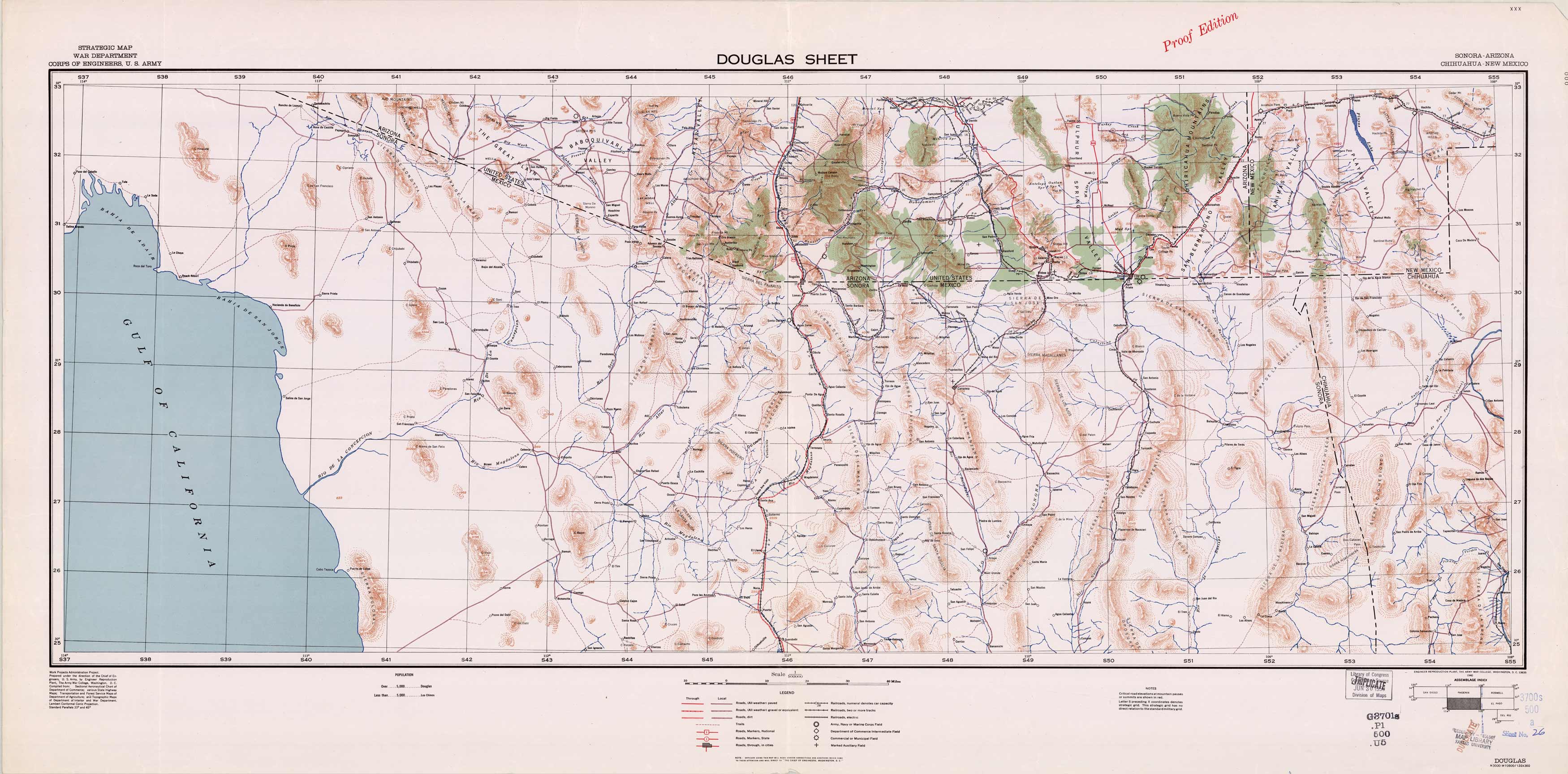
Douglas Sheet (Arizona)- Strategic Map
In stock
Prepared under the direction of the Chief of Engineers, U.S. Army in 1940, this strategic map for the war department shows topographic features, cities, roads, railroads, fields, and trails. This Douglas sheet of Sonora, Arizona and Chihuahua, New Mexico covers Sulphur Spring Valley down past the border of Mexico near Nacozari.
Size: 46.75 x 22.5 inches
Condition: Very Good, library stamp Map Library Kansas University and Library of Congress
Map Maker: U.S. Corps of Engineers
Coloring: Printed Color
Year: 1940
Condition: Very Good, library stamp Map Library Kansas University and Library of Congress
Map Maker: U.S. Corps of Engineers
Coloring: Printed Color
Year: 1940
In stock


