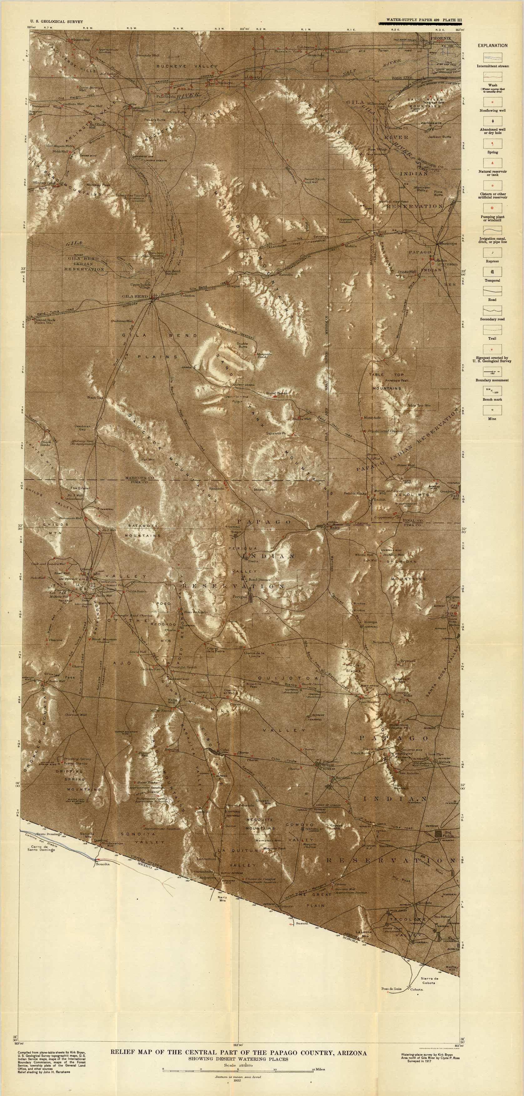
Relief Map of the Central Part of the Papago County, Arizona, Showing Desert Watering Places
In stock
This topographic, relief map of the Eastern part of the Papago County, Arizona was done in 1922 by the U.S. Geological Survey. The map shows the region from Tecolote Valley up to Buckeye Valley. The key indicates streams, wells, springs, canals, roads, trails, boundaries, mines, and railroads.
Size: 16.5 x 36 inches
Condition: Very Good, age toning on fold lines
Map Maker: United States Geological Survery
Coloring: Printed Color
Year: 1922
Condition: Very Good, age toning on fold lines
Map Maker: United States Geological Survery
Coloring: Printed Color
Year: 1922
In stock


