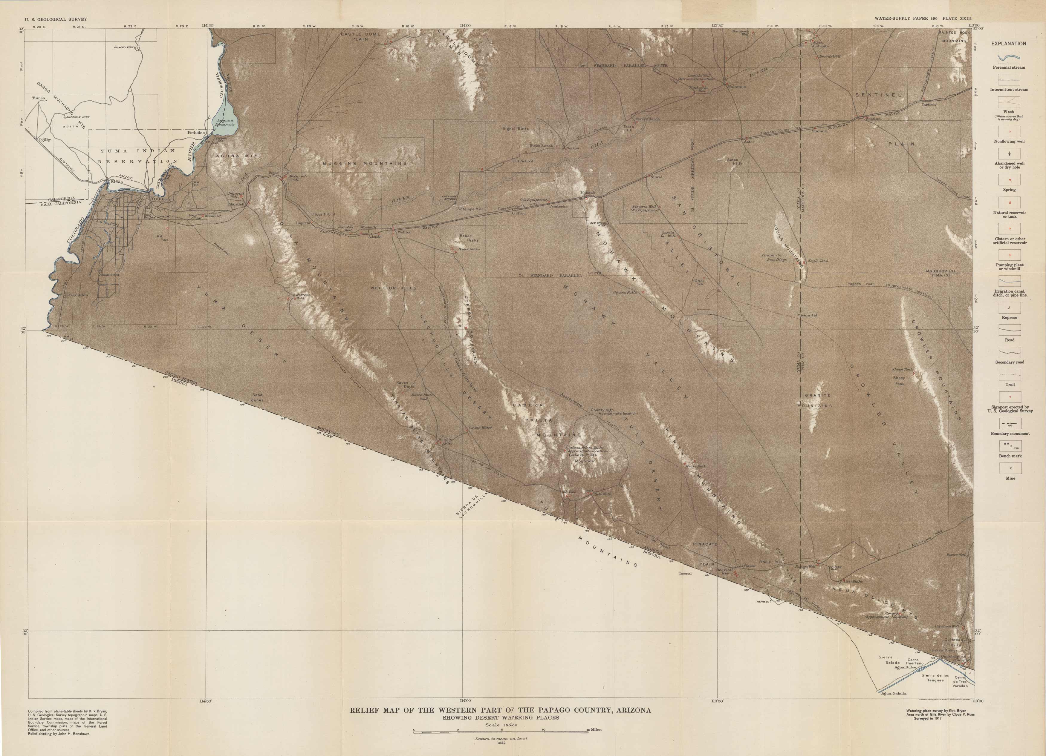
Relief Map of the Western Part of the Papago County, Arizona, Showing Desert Watering Places
In stock
This topographic, relief map of the Western part of the Papago County, Arizona was done in 1922 by the U.S. Geological Survey. It shows a portion of the Yuma Indian Reservation an Cargo Muchacho Mountains. The main portion of the map centers on the Yuma Desert, Gila Mountains, Laguna and Muggins Mountains, Mohawk Valley and Mountains, San Cristobal Valley, Growler Valley and Mountains, to the Sentinel Plain. The key indicates streams, wells, springs, canals, roads, trails, boundaries, mines, and railroads.
Size: 27.25 x 19.5 inches
Condition: Very Good
Map Maker: United States Geological Survey
Coloring: Black and White
Year: 1922
Condition: Very Good
Map Maker: United States Geological Survey
Coloring: Black and White
Year: 1922
In stock


