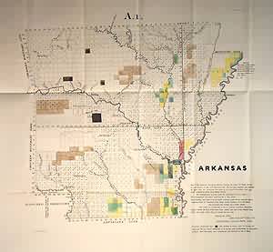
Arkansas
In stock
This very early GLO map of Arkansas has shaded and outline color in dark and light brown, green, blue, yellow, and pink. Towns shown include Pine Bluff, Hot Springs, Little Rock, Helena, Fayetteville, Batesville and others. The western edge of the state is marked by Choctaw and Cherokee boundary lines, while in the southwest is an area marked Disputed Territory and shows the ‘supposed” line between the United States and Texas. Other features of interest on the map are the Old Cherokee Line stretching from the Arkansas to the White River and a very small Cherokee reservation along the Arkansas. The ‘supposed course of St. Francis River” is shown in the northeast corner.
Size: 16 x 14 inches
Condition: Very Good
Map Maker: General Land Office
Coloring: Original Outline Color
Year: 1839
Condition: Very Good
Map Maker: General Land Office
Coloring: Original Outline Color
Year: 1839
In stock


