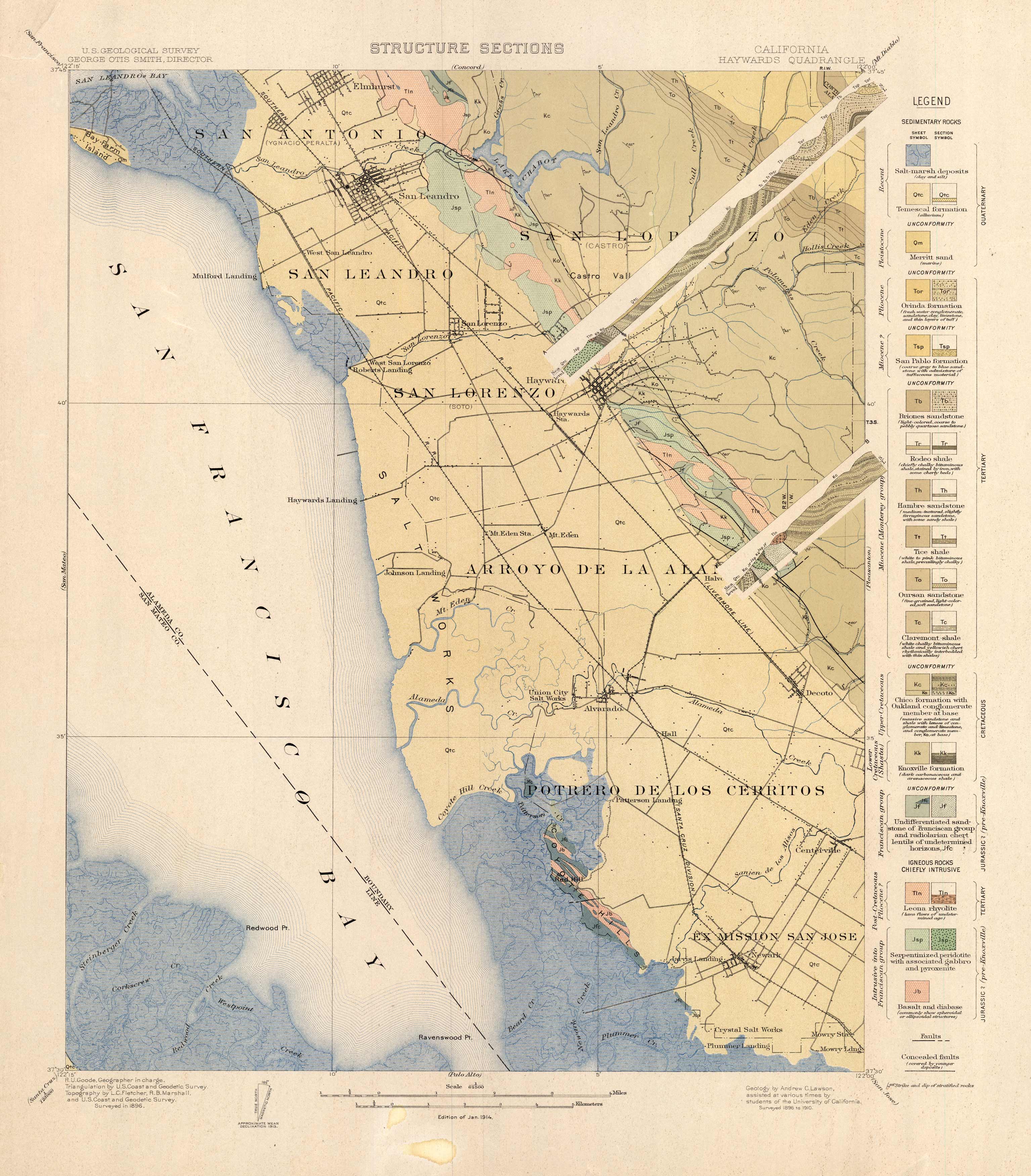
Haywards Quadrangle, California
In stock
This 1913 map of the California Concord Quadrangle shows Ordina formation, the San Pablo formation, the Briones sandstone, the Rodeo Shale, the Hambre sandstone, the Tice shale, the Oursan sandstone, the Claremont shale, the Knoxvilleformation, and the various marsh deposits and shales throughout the Haywards quadrangle. It labels faults and concealed faults, and organizes the formations by their contents of sedimentary, metamorphic, and igneous rocks. The map shows Elmhurst, San Antonio, San Leandro, San Lorenzo, Arroyo De La Alameda, Potrero De Los Cerritos, Ex Mission San Jose, Centerville, Newark, Decoto, Hayward, Bay Farm Island, Lake Chabot, Alvarado, and Castro Valley. It also shows some farms, neighborhood grids, railroad lines, and bodies of waters throughout the area. A very insightful map to anyone interested in geology!
Condition: Very Good
Map Maker: U.S. Geological Survey
Coloring: Printed Color
Year: 1913
In stock


