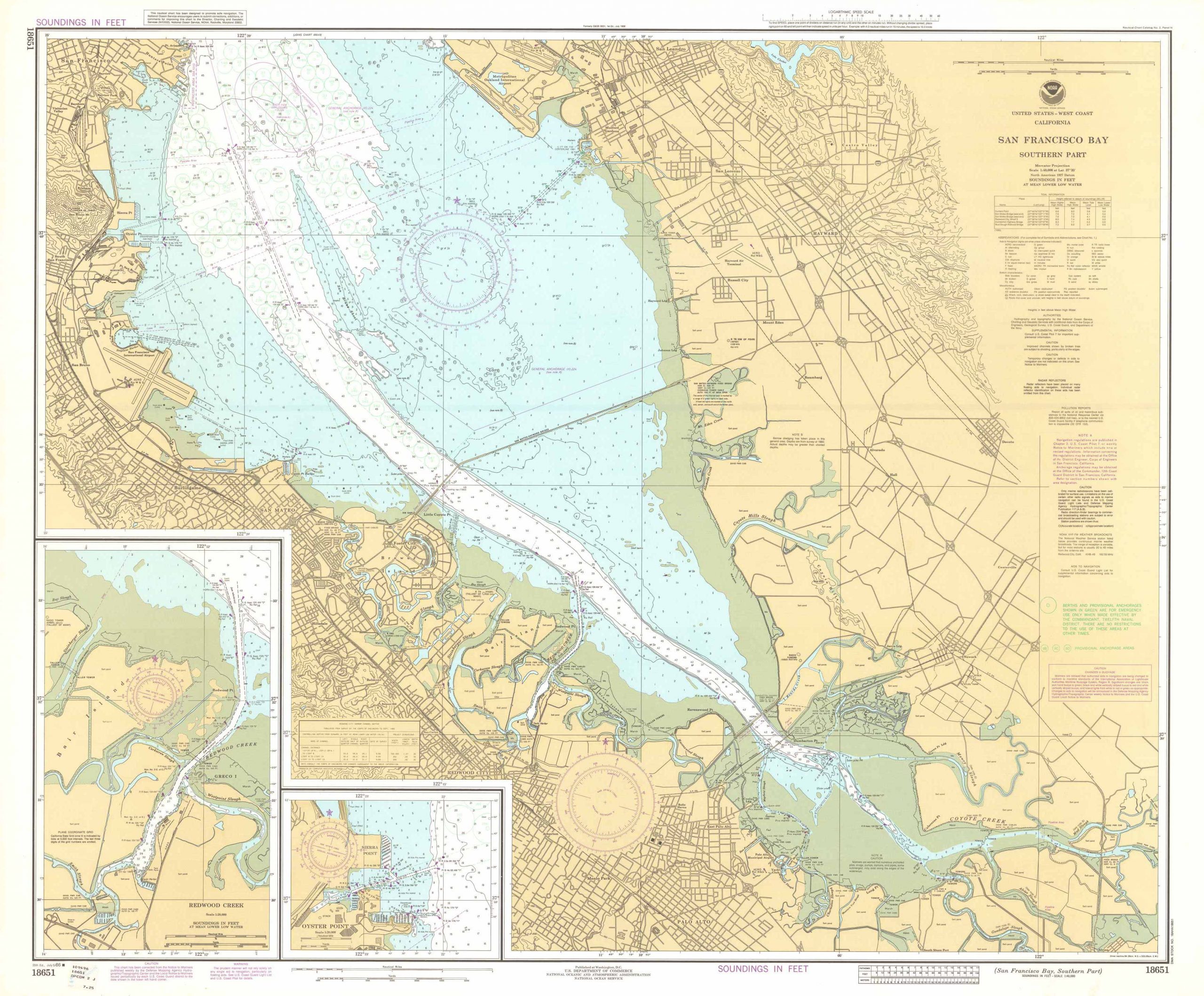
San Francisco Bay Southern Part, California
In stock
Large map of the San Francisco Bay Southern Part, California, created by NOAA: the National Oceanic and Atmospheric Administration, National Ocean Survey. This map is set to a scale of 1:40,000 and includes soundings in feet at mean lower low water, a Logarithmic Speed Scale, Tidal Information chart, Heights, Notes, and insets of Redwood Creek and Oyster Point. This maps coloring is bright and in very good condition.
Size: 44.25 x 38.75 inches
Condition: Excellent
Map Maker: NATIONAL OCEANIC AND ATMOSPHERIC ADMINISTRATION
Original Production Year: 1986
Coloring: Printed Color
Year: 1986
Condition: Excellent
Map Maker: NATIONAL OCEANIC AND ATMOSPHERIC ADMINISTRATION
Original Production Year: 1986
Coloring: Printed Color
Year: 1986
In stock


