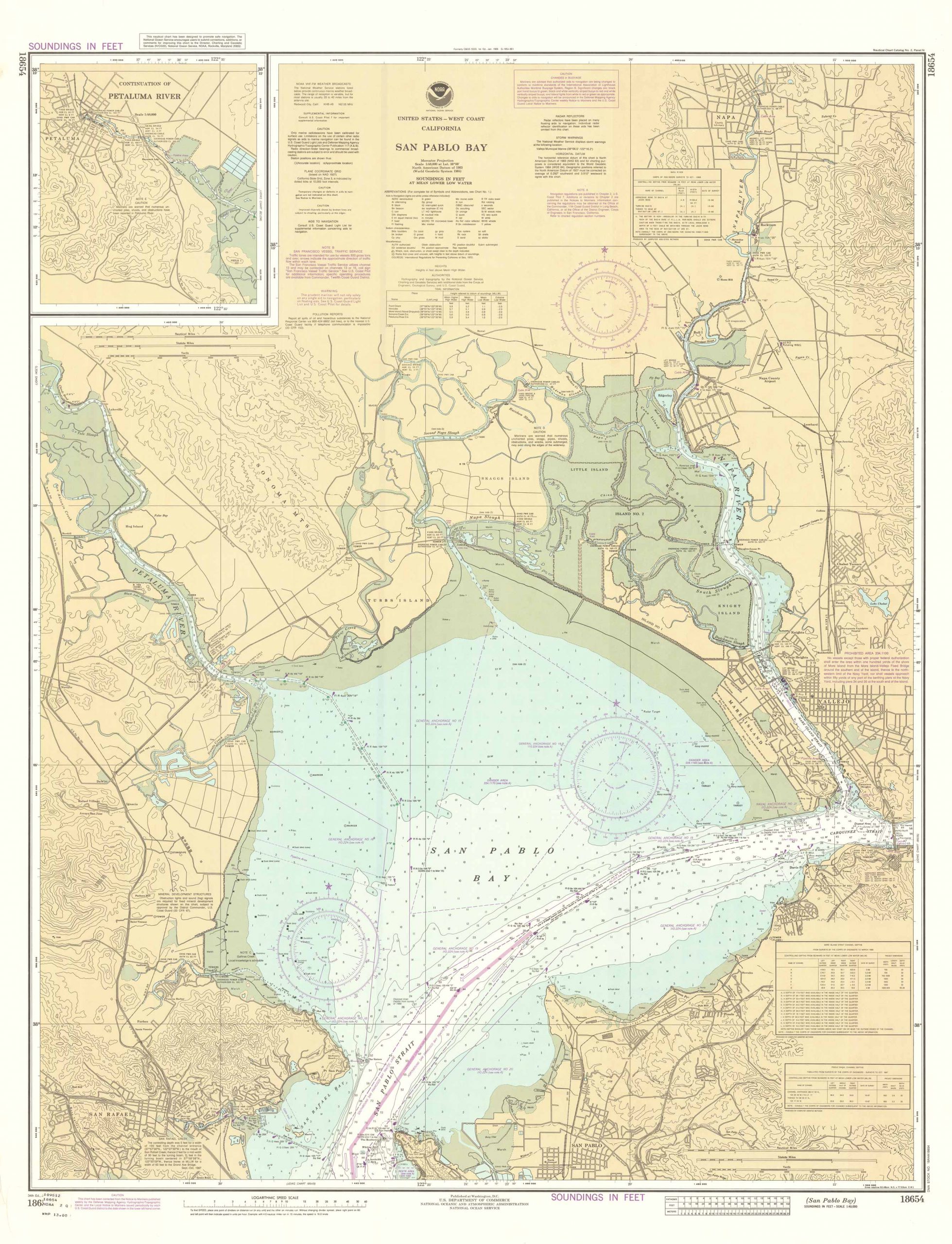
San Pablo Bay, California
In stock
Large map of San Pablo Bay, California, created by NOAA – the National Oceanic and Atmospheric Administration. This map is set to a scale of 1:40,000 and includes Soundings in Feet at Mean Lower Low Water, an inset of the Continuation of the Petaluma River, chart of Mare Island Strait Channel Depths, Pinole Shoal Channel Depths, a Logarithmic Speed Scale, Tidal Information chart, Heights, and Notes.
Size: 33.75 x 44.25 inches
Condition: Very good
Map Maker: NATIONAL OCEANIC AND ATMOSPHERIC ADMINISTRATION
Original Production Year: 1988
Coloring: Printed Color
Year: 1988
Condition: Very good
Map Maker: NATIONAL OCEANIC AND ATMOSPHERIC ADMINISTRATION
Original Production Year: 1988
Coloring: Printed Color
Year: 1988
In stock


