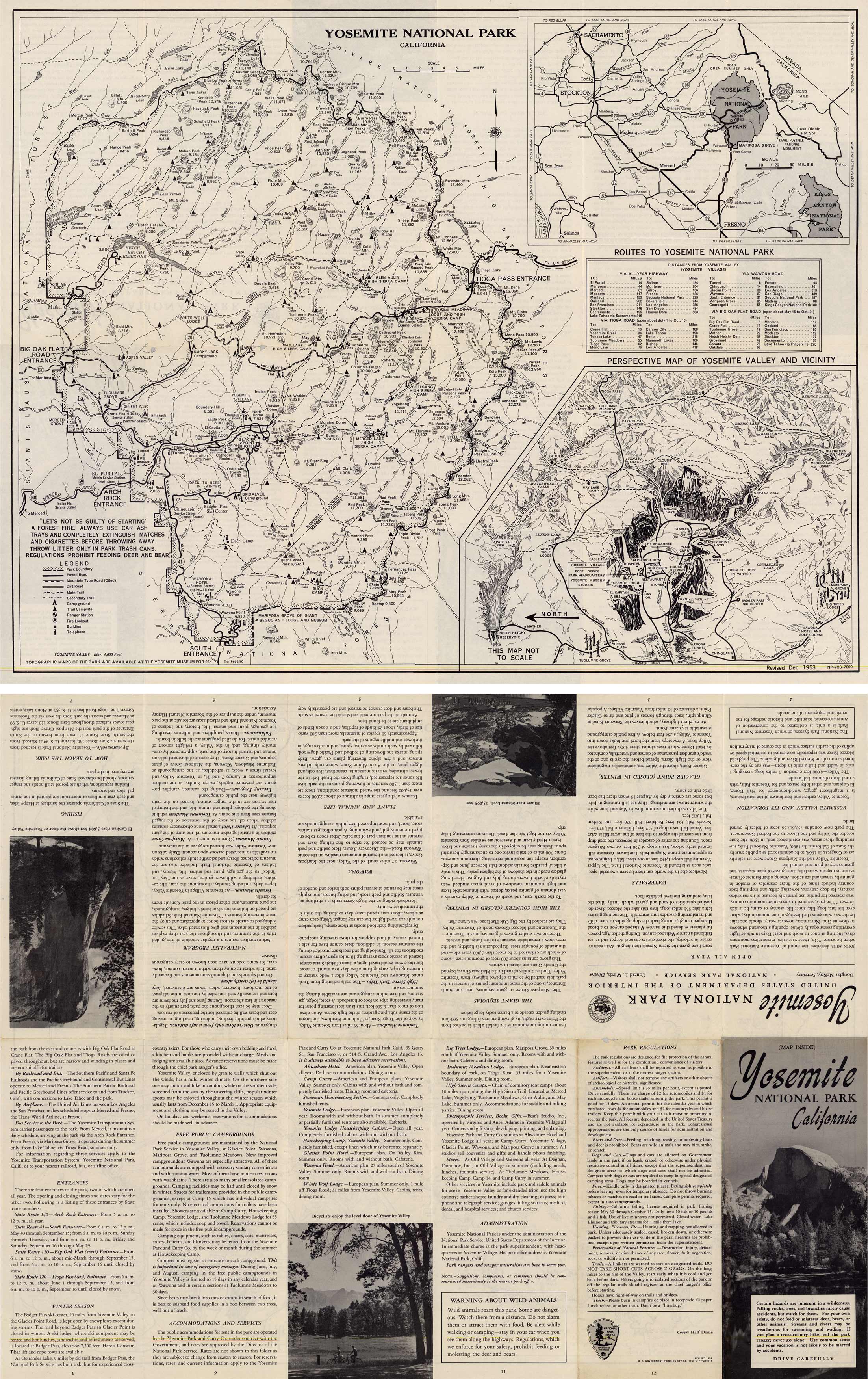
Yosemite National Park, California
In stock
This pocket fold map of Yosemite National Park, California was created by the Department of the Interior. As pictured, one side shows a map and the other side shows scenic pictures and has information about campgrounds, accomodations and services, and points of interest (i.e. waterfalls, glacier points, the giant sequoias, and plants and animals). The map includes two insets that show routes to Yosemite National Park and a Perspective Map of Yosemite Valley and Vicinity.
Size: 23 x 18.5 inches
Condition: Good, light age toning and small holes along folds
Map Maker: U.S. Government- Department of the Interior
Coloring: Black and White
Year: 1954
Condition: Good, light age toning and small holes along folds
Map Maker: U.S. Government- Department of the Interior
Coloring: Black and White
Year: 1954
In stock


