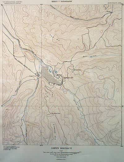
Aspen District V, Topography
In stock
USGS topographic map of the Aspen District. Shows mines, mining roads, railroads. Area from Woody Creek to Richmond Hill. A great map from the height of the mining boom in Colorado.
Size: 15 x 20 inches
Condition: Excellent
Map Maker: U.S. Geological Survey
Coloring: Lithographed color: brown and blue
Year: 1898
Condition: Excellent
Map Maker: U.S. Geological Survey
Coloring: Lithographed color: brown and blue
Year: 1898
In stock


