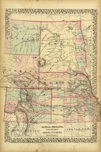
County Map of Kansas, Nebraska, Colorado Dakota, Wyoming Montana
In stock
Extremely rare and hard to find, this map of the western states of Kansas, Nebraska, Colorado, unsplit Dakota, Wyoming and Montana was made by S. Augustus Mitchell in 1872. Pastel coloring differentiates each state, counties, cities, railroads, mountain ranges, and Indian territories are illustrated. A distinctive ivy style border completes this map beautifully.
Size: 15 x 20 inches
Condition: Excellent
Map Maker: S. Augustus Mitchell
Coloring: Original Hand Coloring
Year: 1872
Condition: Excellent
Map Maker: S. Augustus Mitchell
Coloring: Original Hand Coloring
Year: 1872
In stock


