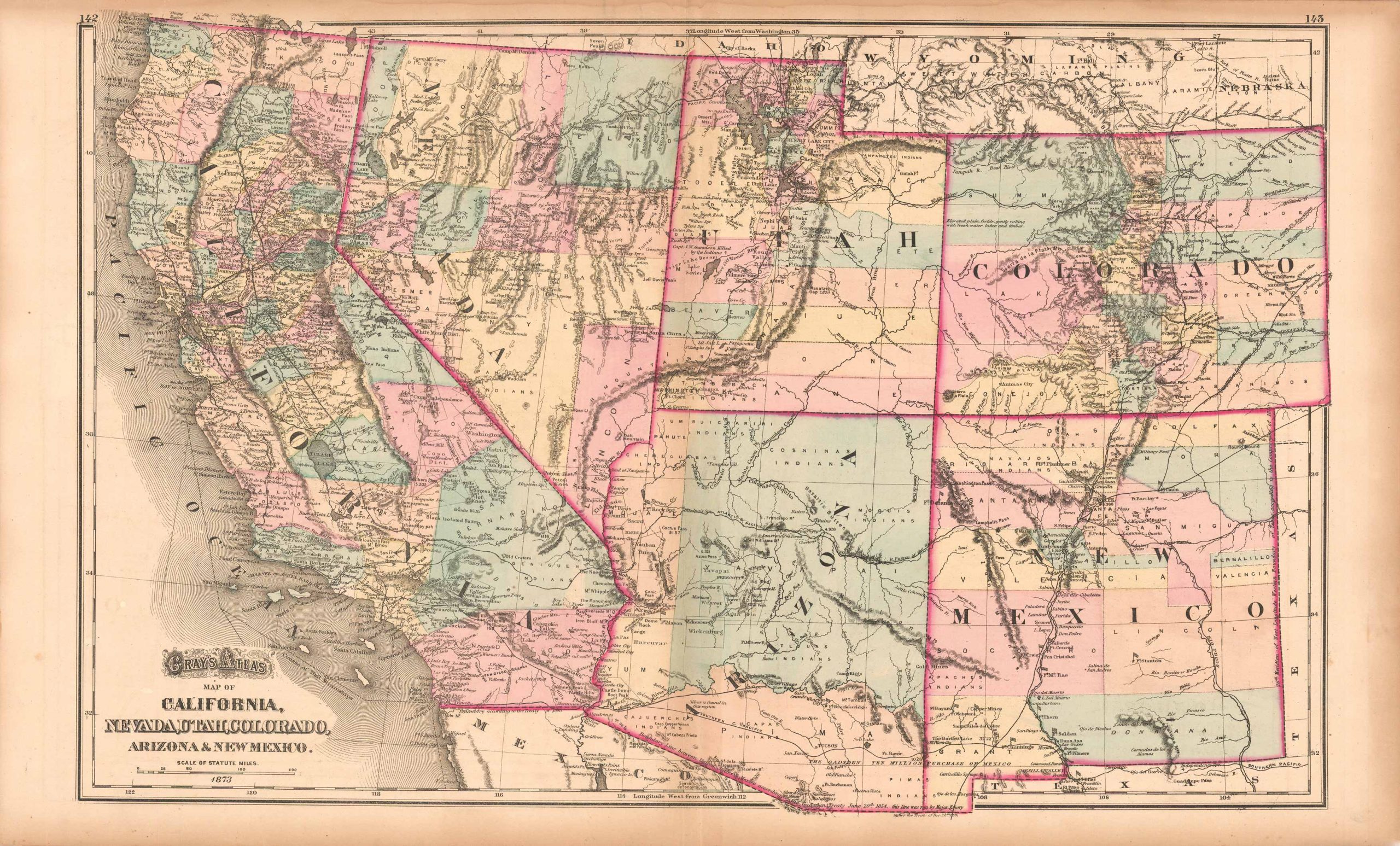
Grays Atlas Map of California, Nevada, Utah, Colorado, Arizona & New Mexico’
In stock
This fantastic, double page map of the Western states, was made for the 1873 Grays Atlas. Early county configurations, cities, towns, forts, Native American territories, rivers, creeks,lakes, mountain ranges, and railroads are noted. A rare collectors map, in very good condition.
Size: 24 x 16 inches
Condition: Very Good
Map Maker: O.W. Gray
Coloring: Original Hand Coloring
Year: 1873
Condition: Very Good
Map Maker: O.W. Gray
Coloring: Original Hand Coloring
Year: 1873
In stock


