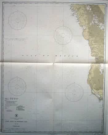
Florida – East Cape to Mormon Key
In stock
This coastal survey was made on October 12, 1945 by the U.S. Coast and Geodetic Survey in Washington D.C. East Cape to Mormon Key, Florida, is illustrated on this map. Details include the names of cities and waterways along the coast, and depth readings. Other details include stamped identification of danger areas, a list of lighthouses transmitting radio beacons. Notes on map read: Warning: Aids to Navigation may be altered, interrupted or removed without notice. In general, temporary changes due to war conditions are not incorporated on the chart. Temporary changes affecting Lights, Buoys and Day Beacons Aides which have been destroyed or removed, but which will be reestablished and are temporarily replaced by aids of different characteristics, are indicated in color by the following abbreviations…
Condition: Very Good- age toning
Map Maker: U.S. Coast and Geodetic Survey
Coloring: Machine Color
Year: 1944
In stock


