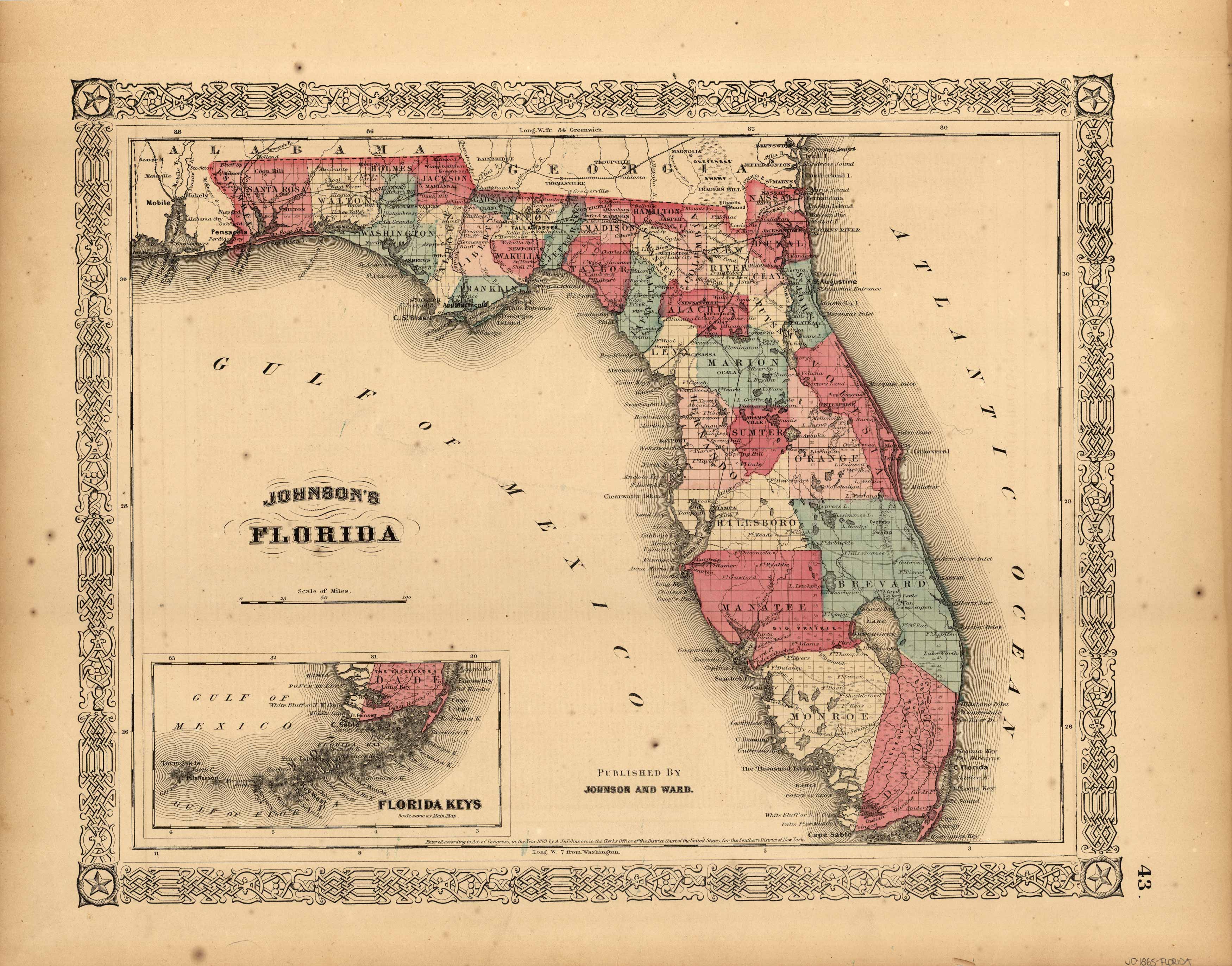
Johnson’s Florida
In stock
This map was made by Johnson and Ward in 1865. Vibrant colors, fine detail and a decorative border are among the features of this beautiful map. The state of Florida is illustrated, counties, cities, railroads, commons, canals, villages and forts are all noted. Also included is an inset map of the Plan of the Florida Keys.
Size: 15 x 12.5 inches
Condition: Very Good- overall age toning
Map Maker: Johnson & Ward
Coloring: Original Hand Coloring
Year: 1865
Condition: Very Good- overall age toning
Map Maker: Johnson & Ward
Coloring: Original Hand Coloring
Year: 1865
In stock


