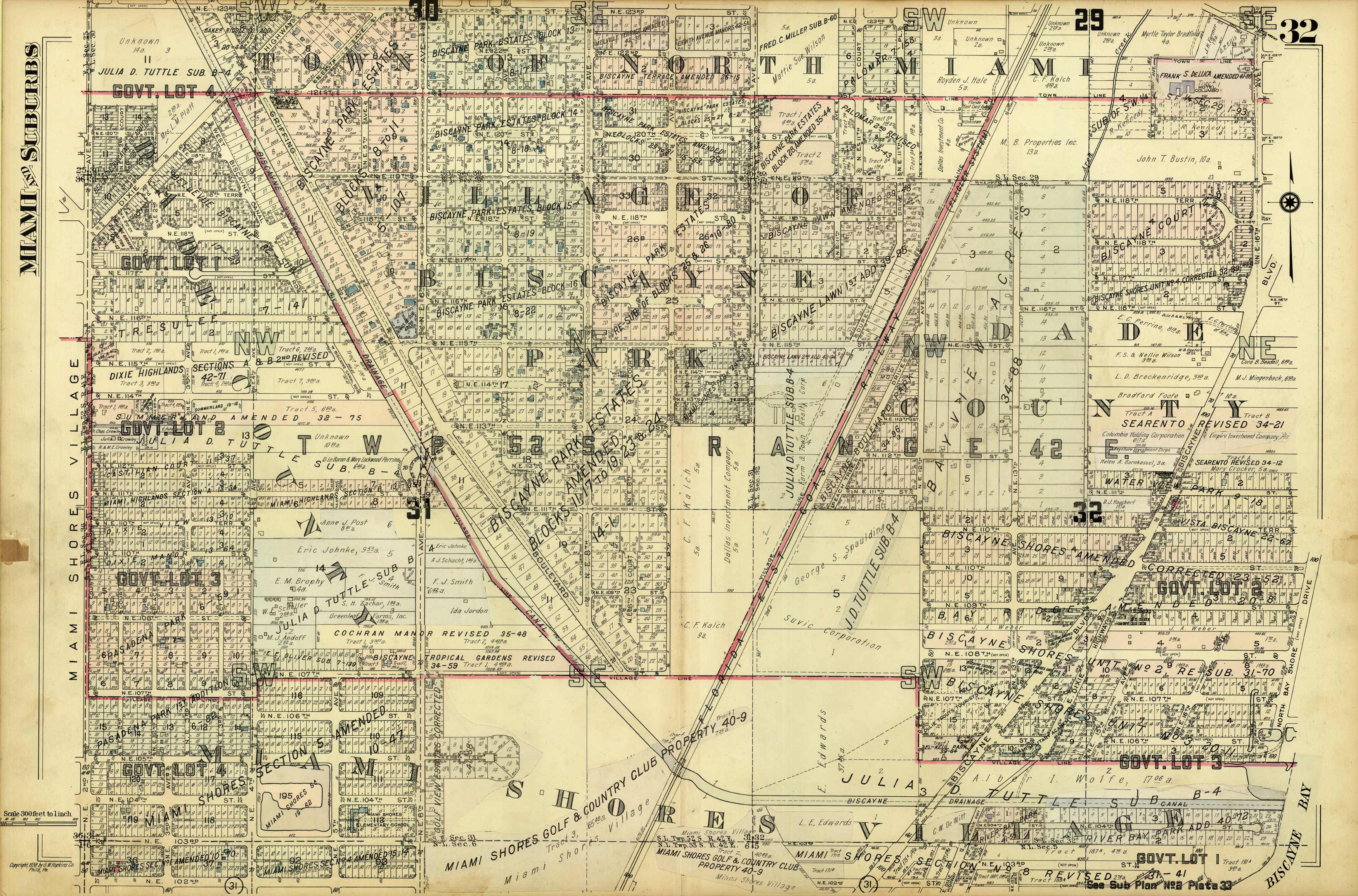
Miami and Suburbs – 1936 – Sheet 32 – (Miami Shores – area bound by N 123rd St., N 102nd St., NE 2nd Ave., and NE 16th Ave./Biscayne Bay)
In stock
This very detailed map is from an early twentieth century fire insurance atlas for Greater Miami, FL., ‘Plat Book of Greater Miami Florida and Suburbs from official records, private plans and actual surveys”, published by G.M. Hopkins Co. Fire insurance atlases are famous for providing the most complete and accurate cartographic record available for the time period. Much of Miami and vicinity depicted here has been dramatically altered or has completely changed. The map is drawn on the grand scale of 1 inch equals 100 feet. Every existing building is shown, with many color coded to indicate building material (brick, frame, stone or concrete, etc.). Apartment houses, stables, electric railways, steam railroads, house numbers, street widths, lot numbers, and a wealth of other details are indicated. Map has pasted down overlays that contain additions or corrections. This map is very desirable for anyone interested in the history of Miami and Miami Beach.
Condition: Very Good - some staining and light foxing
Map Maker: G.M. Hopkins Co.
Coloring: Printed Color
Year: 1936
In stock


