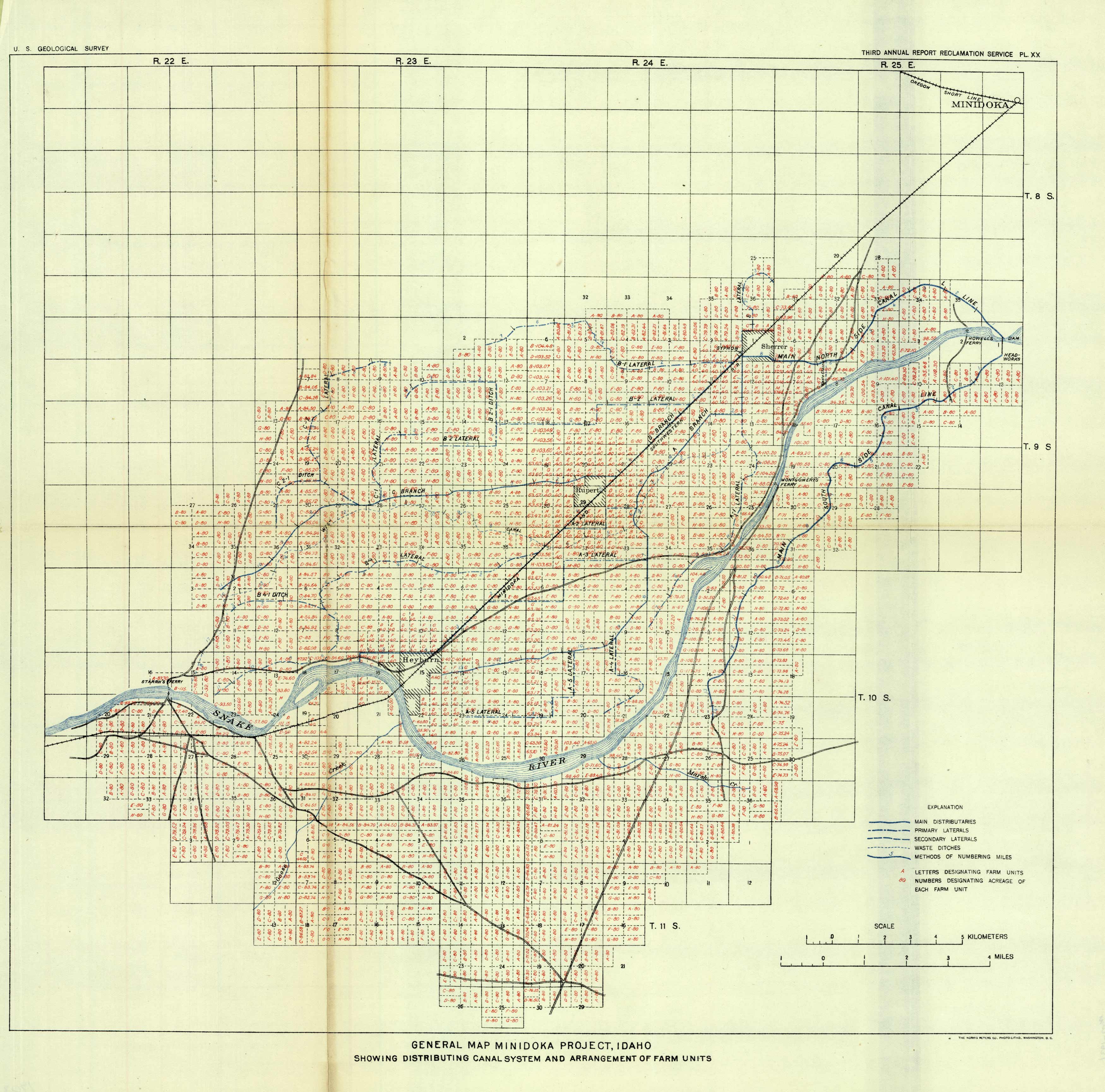
General Map Minidoka Project, Idaho
In stock
This map from the United States Geological Survey shows the Minidoka Project in Idaho, showing the distributing canal system and arrangement of farm units. Indicated on the map are main distributaries, primary laterals, secondary laterals, and waste ditches.
Size: 16 x 16 inches
Condition: Very Good - uneven age toning, some paper separation along folds
Map Maker: U.S. Geological Survey
Coloring: Printed Color
Condition: Very Good - uneven age toning, some paper separation along folds
Map Maker: U.S. Geological Survey
Coloring: Printed Color
In stock


