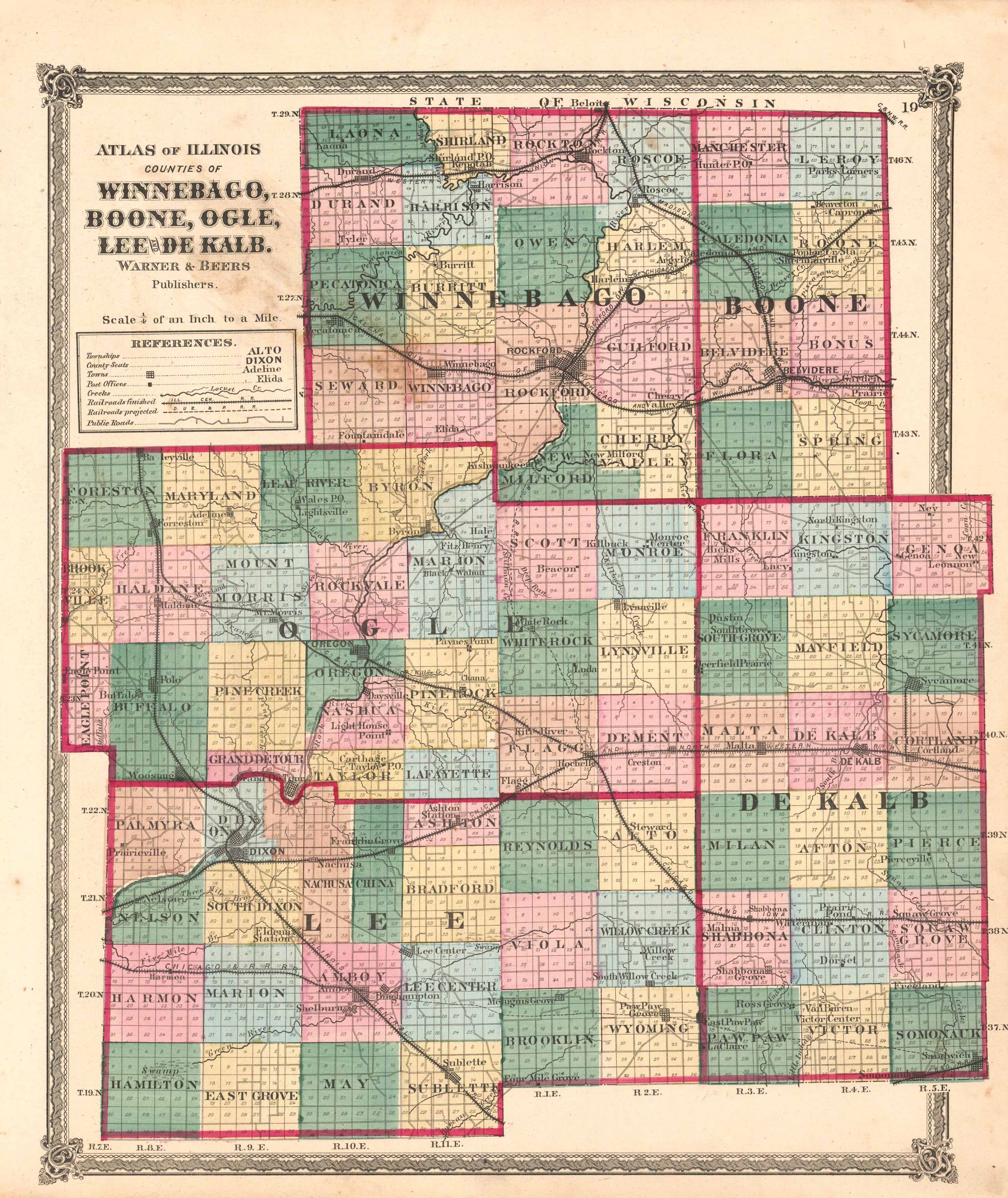
Counties of Winnebago, Boone, Ogle, Lee and De Kalb, Illinois
In stock
In 1873, Warner and Beers published the “Atlas of Woodford County and the State of Illinois to which is added an atlas of the United States and maps of the Hemisphere’s”. Warner and Beers were the pre-eminent publishers of State and County atlas’ during this time. As a marketing tool they would publish a specific county section as part of the state atlas. Included in this atlas were maps of all towns in Woodford County. These maps are recognized for their fine engraving work and beautiful, rich hand-coloring.
Size: 13.25 x 16.5 inches
Condition: Good-age toned
Map Maker: Warner and Beers
Original Production Year: 1873
Coloring: Original Hand Color
Year: 1873
Condition: Good-age toned
Map Maker: Warner and Beers
Original Production Year: 1873
Coloring: Original Hand Color
Year: 1873
In stock


