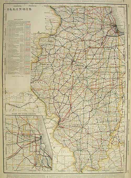
Illinois (Railroad Map)
In stock
Art Source International is proud to offer the maps from George F. Crams 1899 Standard American Railway Atlas. This is the first time we have seen this atlas in over 20 years. It is perhaps the finest atlas Cram ever produced. The maps are in excellent condition with exceptionally bright colors. Their most notable feature is certainly the precise depiction of the railroad routes. Every rail line is named, numbered and color coded. Cities, towns, lakes, rivers, creeks and mountain ranges are shown. This map would be a fine addition to any collection or make a unforgettable gift.
Size: 16 x 22 inches
Condition: Excellent
Map Maker: George F. Cram
Coloring: Printed Color
Year: 1899
Condition: Excellent
Map Maker: George F. Cram
Coloring: Printed Color
Year: 1899
In stock


