Louisville
In stock
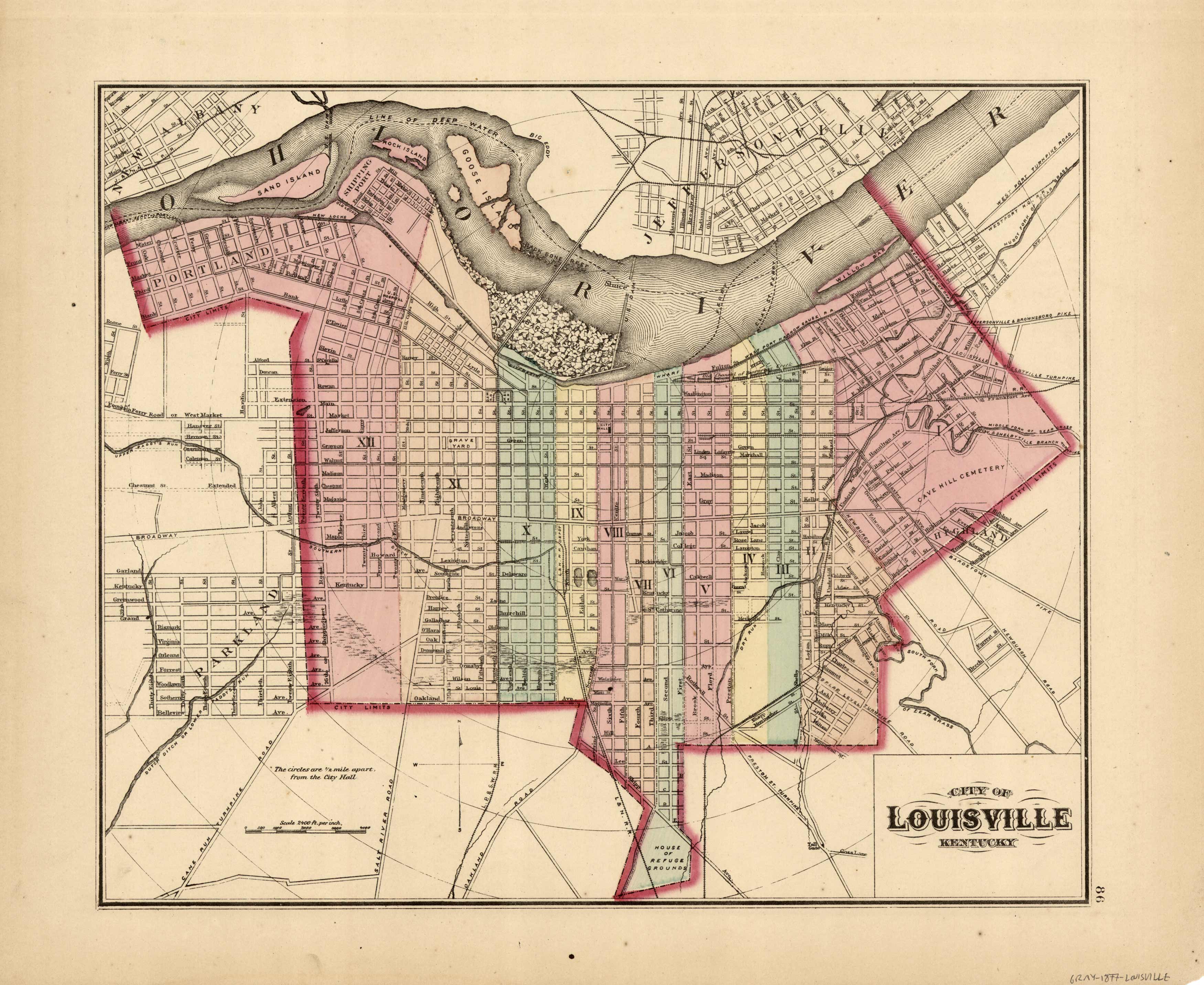
This hand colored map was made by O.W.Gray in 1877. Regions are distinguished by color. Other details include rivers, lakes, mountains, railroads, and the names of regions. Very unusual map in that most of Grays maps of Indianapolis were produced with Indianapolis on the same page to save money.
Size: 15 x 12 inches
Condition: Very Good
Map Maker: O.W.Gray
Coloring: Hand Color
Year: 1877
Condition: Very Good
Map Maker: O.W.Gray
Coloring: Hand Color
Year: 1877
In stock


