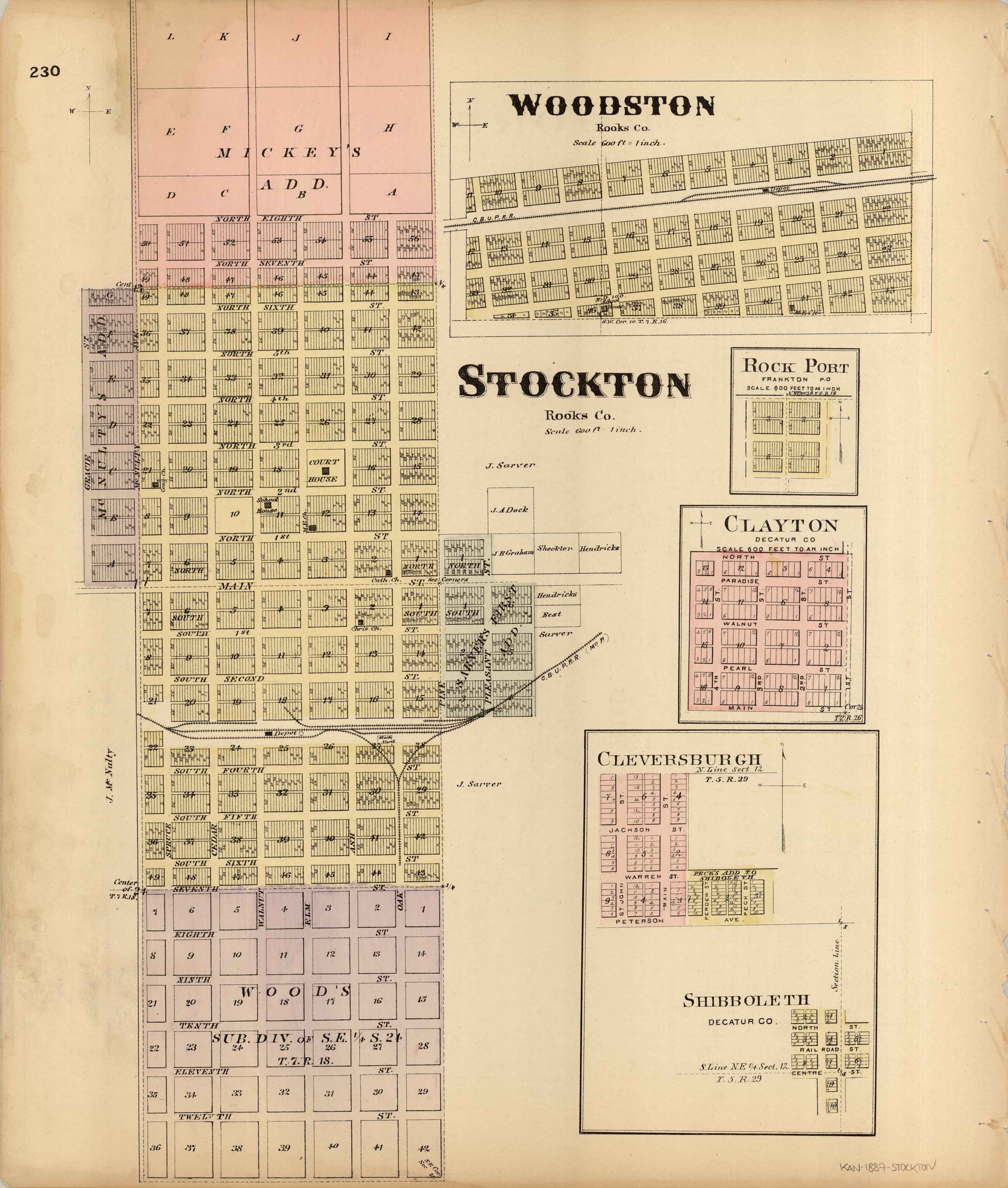
L.H. Evert’s 1887 Map of Woodston, Stockton, Rock Port, Clayton, Cleversburgh, and Shibboleth, Kansas
In stock
We are very excited to offer you this original map of Woodston, Stockton, Rock Port, Clayton, Cleversburgh, and Shibboleth, Kansas. This map was issued as part of L.H. Evert’s & Co “Official State Atlas of Kansas” and shows schools, important buildings, churches, post offices, railroads, wagon roads, and ranches. This was the first official state atlas of Kansas. Without a doubt, this atlas is one of the rarest and largest state atlases ever produced in the United States with over 340 pages of maps and views. Until now I have only had a handful of these wonderful maps in over 40 years of selling old maps.
Size: 15 x 17.5 inches
Condition: Good - some foxing and bent/ripped corners
Map Maker: L.H. Everts & Co.
Coloring: Original Hand Color
Year: 1887
Condition: Good - some foxing and bent/ripped corners
Map Maker: L.H. Everts & Co.
Coloring: Original Hand Color
Year: 1887
In stock


