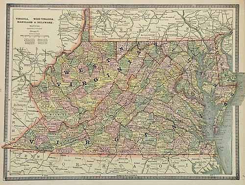
Virginia, West Virginia, Maryland & Delaware
In stock
George F. Cram produced this map for Crams Unrivaled Family Atlas of the World, published in 1885. This map of Virginia, West Virginia, Maryland & Delaware illustrates counties, cities, towns, rail roads and topographical features. Great detailing, with nice pastel coloring.
Size: 12 x 9 inches
Condition: Very Good
Map Maker: George F. Cram
Coloring: Machine Coloring
Year: 1885
Condition: Very Good
Map Maker: George F. Cram
Coloring: Machine Coloring
Year: 1885
In stock


