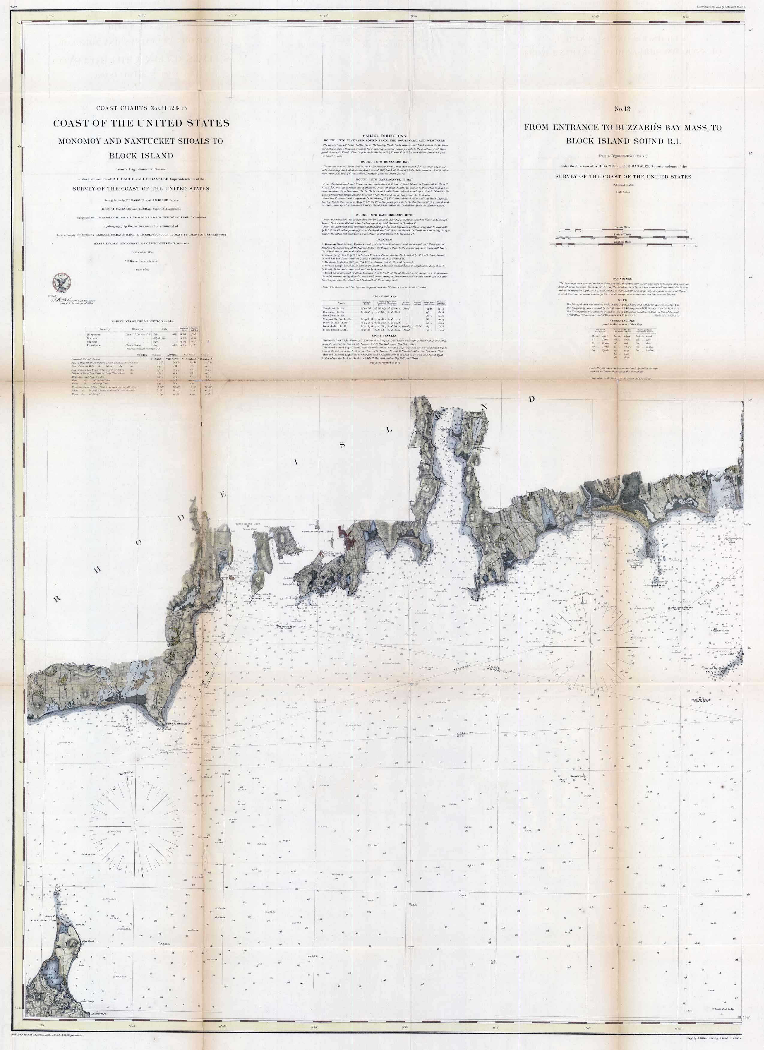
Coast Charts Nos. 11 12 & 13 Monomoy and Nantucket Shoals to Block Island & From Entrance to Buzzards Bay Mass. To Block Island Sound R.I. ‘
In stock
This spectacular 1860 United States Coast Survey map showcases Monomoy and Nantucket Shoals to Block Island on the left and the entrance from Buzzards Bay Massachusetts to Block Island Sound in Rhode Island. The map also offers magnetic needle variations, tidal information, light house locations, sailing instructions into different areas, and bottom conditions throughout the coast. The map also charts different coves, rocks, harbors, and a view of the countryside along the way. Newport is one of the featured cities. This map was a collaboration between A.D. Bache and F.R. Hassler.
Size: 28 x 38.5 inches
Condition: Very good, archivally reinforced at all folds. Slight paper loss at two joints
Map Maker: U.S. Coast Survey
Coloring: Original Hand Color
Year: 1860
Condition: Very good, archivally reinforced at all folds. Slight paper loss at two joints
Map Maker: U.S. Coast Survey
Coloring: Original Hand Color
Year: 1860
In stock


