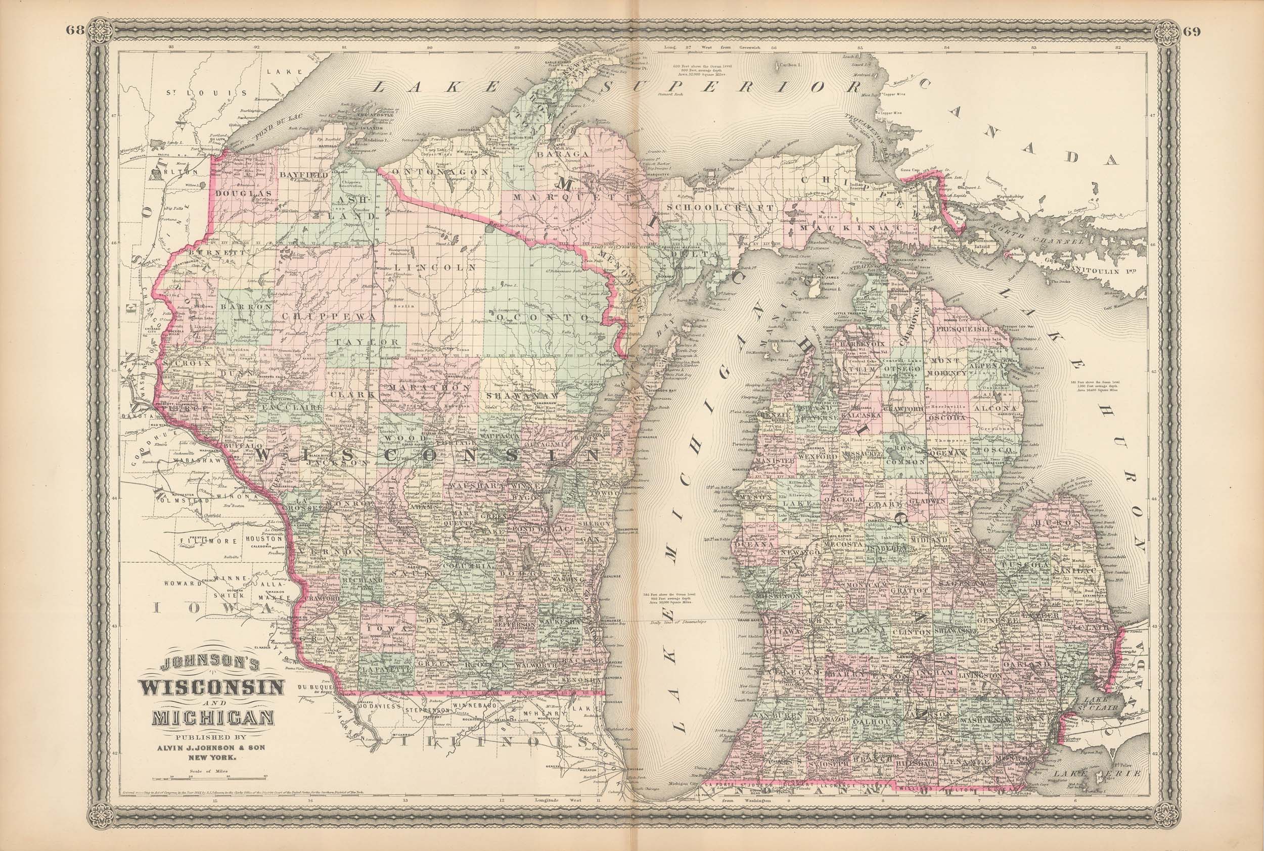
Johnson’s 1880 Map of Wisconsin and Michigan
In stock
This map was issued as part of “Johnson’s New Illustrated Family Atlas of the World.” This atlas was awarded the first prize medal at the Universal Expositions in Paris in 1867 and 1878. A.J. Johnson published his first atlas in 1860 as successors to J.H. Colton & Co. Editions of this atlas ceased in 1885. These later editions of the Johnson atlas are some of the finest the company ever produced and are known for the geometric border.
Size: 23 x 17 inches
Condition: Very Good
Map Maker: Alvin J. Johnson & Son
Coloring: Original Hand Color
Year: 1880
Condition: Very Good
Map Maker: Alvin J. Johnson & Son
Coloring: Original Hand Color
Year: 1880
In stock


