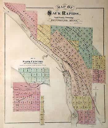
Map of Sauk Rapids
In stock
This map is from the “Illustrated Historical Atlas of the State of Minnesota,” published by A. T. Andreas in 1874. Sauk Rapids is illustrated on this page. A smaller map shows Sauk Center. Details include the names of streets, important land owners, rivers, lakes, and railroads.
Size: 13 x 15.5 inches
Condition: Good - age toning
Map Maker: A.T. Andreas
Coloring: Original Hand Color
Year: 1874
Condition: Good - age toning
Map Maker: A.T. Andreas
Coloring: Original Hand Color
Year: 1874
In stock


