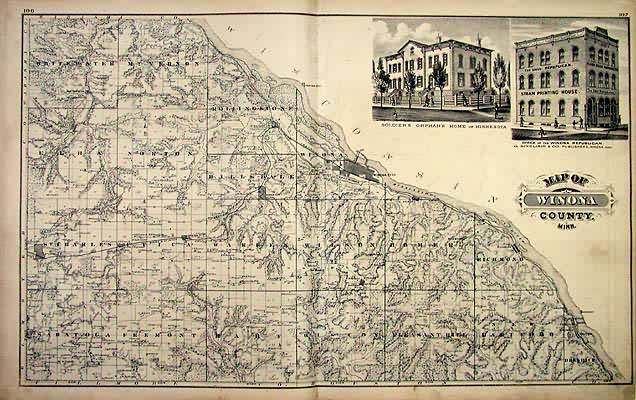
Map of Winona County
In stock
This map is from the “Illustrated Historical Atlas of the State of Minnesota,” published by A. T. Andreas in 1874. Winona County is illustrated on this map. Details include the names of townships, land owners, rivers, lakes, and railroads. Also included are inset pictures of the Soldiers Orphans Home of Minnesota and the Office of the Winona Republican Newspaper.
Size: 26.5 x 16 inches
Condition: Very Good - age toning
Map Maker: A.T. Andreas
Coloring: Original Hand Color
Year: 1874
Condition: Very Good - age toning
Map Maker: A.T. Andreas
Coloring: Original Hand Color
Year: 1874
In stock


