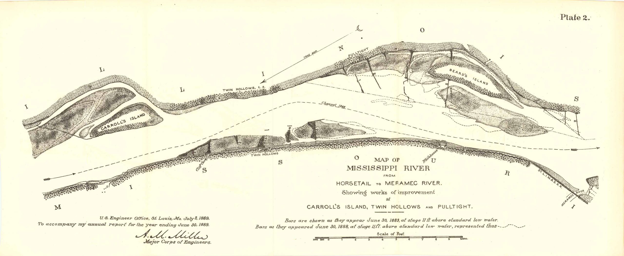
Map of Mississippi River from Horsetail to Meramec River 1889
In stock
Map of Mississippi River from Horsetail to Meramec River showing works of improvement at Carrol’s Island, Twin Hollows and Pulltight. Drawn up by the U.S. Engineer Office, St. Louis MO. July 8th 1889 to accompany the annual report for the year ending in June 30th, 1889, Major Corps of Engineers. This map features a small key explaining the various bars and what they indicate, additionally there is Carrol’s Island, Beards Island, Twin Hollows and Meramec River.
Size: 21.5 x 9 inches
Condition: Very good
Map Maker: U.S. Corps of Engineers
Original Production Year: 1889
Coloring: Black & White
Year: 1889
Condition: Very good
Map Maker: U.S. Corps of Engineers
Original Production Year: 1889
Coloring: Black & White
Year: 1889
In stock


