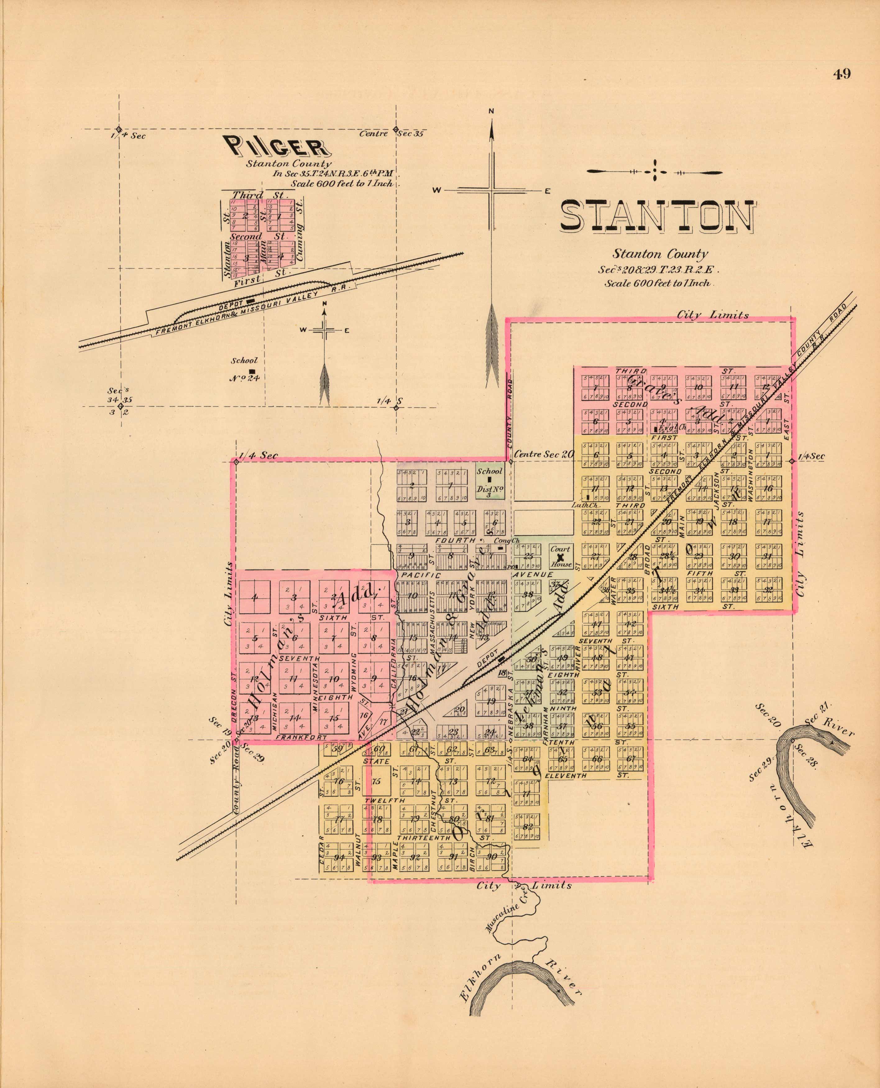
Stanton and Pilger, Nebraska
In stock
This map is from “The Official State Atlas of Nebraska”, published in 1885 by Everts & Kirk. It was “compiled from government surveys, county records, and personal investigations”. The map shows “the relative position of each county (as divided up to the adjournment of State Legislature of 1885), the location of Railroads, Cities and Villages, the principal Streams and much topography, not heretofore obtainable”. In the atlas, this state map “is followed by separate maps of the different counties of the State drawn on a much larger scale, on which the details are more thoroughly given; there are also plans of the leading Cities and Villages throughout the State, which have been carefully prepared from the official records of each”. “Much information has been gleaned from conversations with the best informed people and oldest residents of the State”. These are the only maps from this atlas we have ever been able to acquire in over thirty years. A rare addition to any collection.
Condition: Excellent
Map Maker: Everts & Kirk
Coloring: Original Hand Color
Year: 1885
In stock


