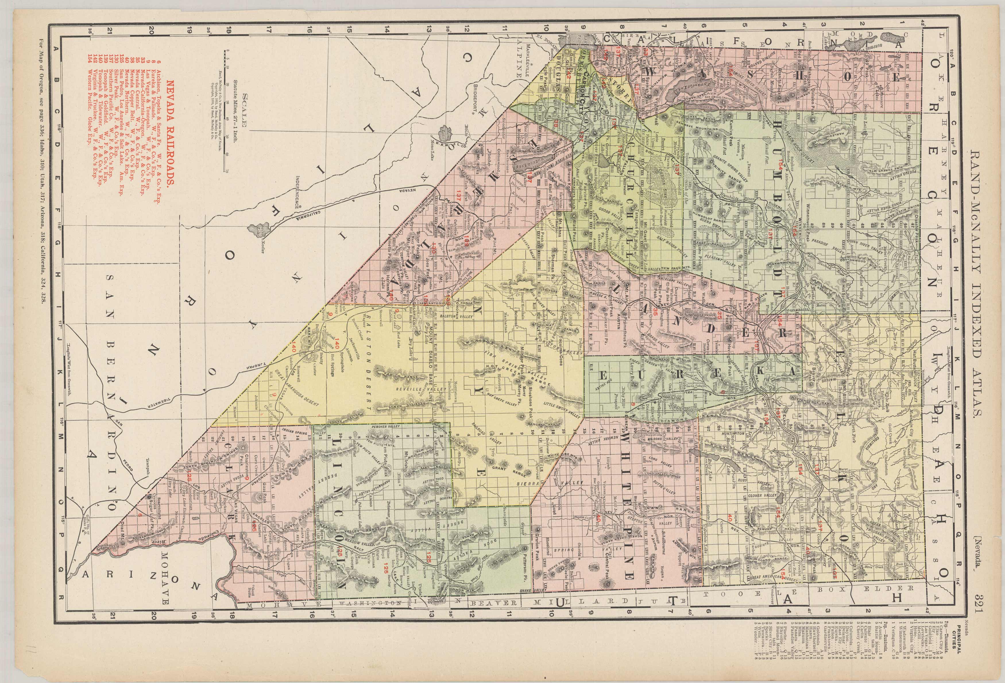
Nevada
In stock
This large-scale was produced for Rand McNally’s Commercial Atlas of America. The Rand McNally Atlas was unusual for its time because it was designed to be used by merchants and shippers. Because of this use for shipping this map is exceptionally detailed in that it shows many railroads, post offices, and small towns in existence at that time. A number of towns shown on this map have since ceased to exist or have been swallowed up by larger towns. This map is therefore the definitive reference for how North America looked at the turn of the century. Every railroad in each state is featured in a table on the map and each railroad is color-coded on the map for easy reference.
Size: 12.5 x 19 inches
Condition: Very Good
Map Maker: Rand McNally & Co.
Coloring: Printed Color
Year: 1911
Condition: Very Good
Map Maker: Rand McNally & Co.
Coloring: Printed Color
Year: 1911
In stock


