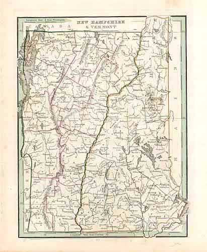
New Hampshire & Vermont
In stock
This detailed map of New Hampshire and Vermont was published by Thomas G. Bradford in 1835. Counties, important cities, rivers, and bodies of water are identified. Pink, yellow, and green are used as outline colors throughout the body of the map. This is a splendid map and would make a lovely addition to any map collection.
Size: 8 x 10 inches
Condition: Very Good - age toning and minor foxing
Map Maker: Thomas G. Bradford
Coloring: Original Outline Hand Color
Year: 1835
Condition: Very Good - age toning and minor foxing
Map Maker: Thomas G. Bradford
Coloring: Original Outline Hand Color
Year: 1835
In stock


