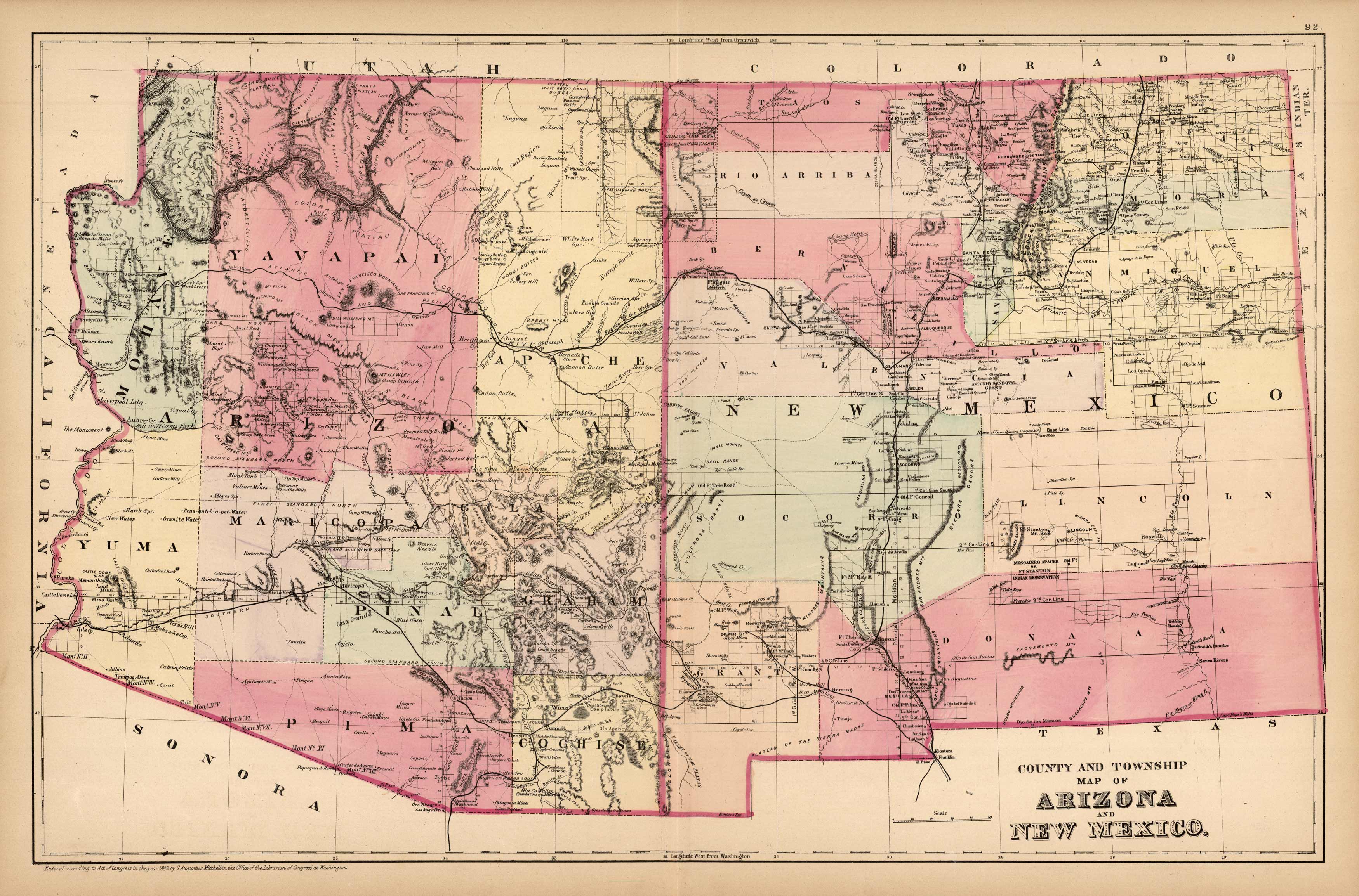
County and Township Map of Arizona and New Mexico
In stock
S. Augustus Mitchell made this County and Township Map of Arizona and New Mexico in 1885. The progress of the population of the states is evident on this map, making it an interesting source of local history. The settlement of Arizona and New Mexico had begun to be established, however, the majority of the states were without zoning grids. Railroad lines, the names of important cities, counties, mountain ranges, lakes, rivers and Native American Lands are identified.
Size: 21.75 x 14 inches
Condition: Very Good-age toning, very light foxing
Map Maker: S. Augustus Mitchell
Coloring: Original Hand Color
Year: 1885
Condition: Very Good-age toning, very light foxing
Map Maker: S. Augustus Mitchell
Coloring: Original Hand Color
Year: 1885
In stock


