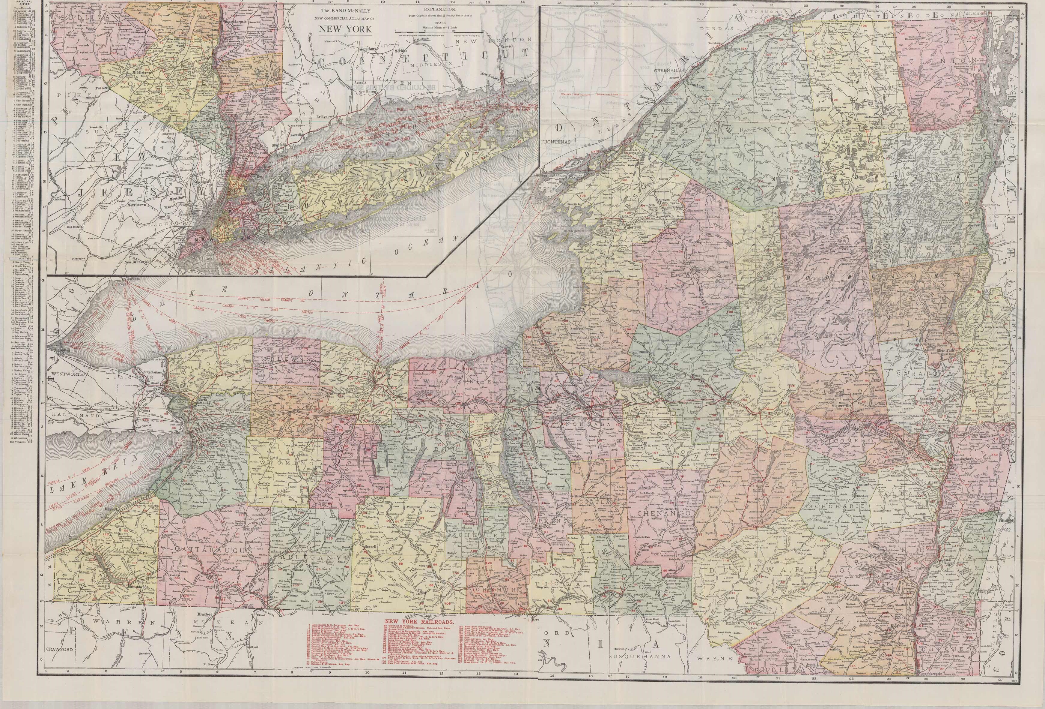
Rand McNally New Commercial Atlas Map of New York
In stock
This Rand McNally pocket map of New York names numerous streets, rivers, lakes, steamboat lines, cities, bays, railroad lines, electric lines. In the inset, the map shows the city of New York. County and state divisions are denoted by color. On the back, the map also contains a New York Automobile Road Map.
Size: 36 x 26 inches
Condition: Very Good, small paper loss in folds
Map Maker: Rand McNally & Co.
Coloring: Printed Color
Year: 1912
Condition: Very Good, small paper loss in folds
Map Maker: Rand McNally & Co.
Coloring: Printed Color
Year: 1912
In stock


