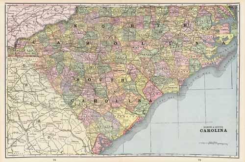
North & South Carolina
In stock
This colorful map came from Crams 1898 Universal Atlas – Geographical, Astronomical and Historical. In 1869 the George F. Cram Company was born and the Cram name quickly became synonymous with accuracy and innovation. This map of North & South Carolina shows the primary towns, rivers, mountains, roads, and railroads. Each particular county is labeled and colored. This map would be a wonderful addition to any collection or a unique gift.
Size: 12 x 20 inches
Condition: Very Good
Map Maker: George F. Cram
Coloring: Printed Color
Year: 1898
Condition: Very Good
Map Maker: George F. Cram
Coloring: Printed Color
Year: 1898
In stock


