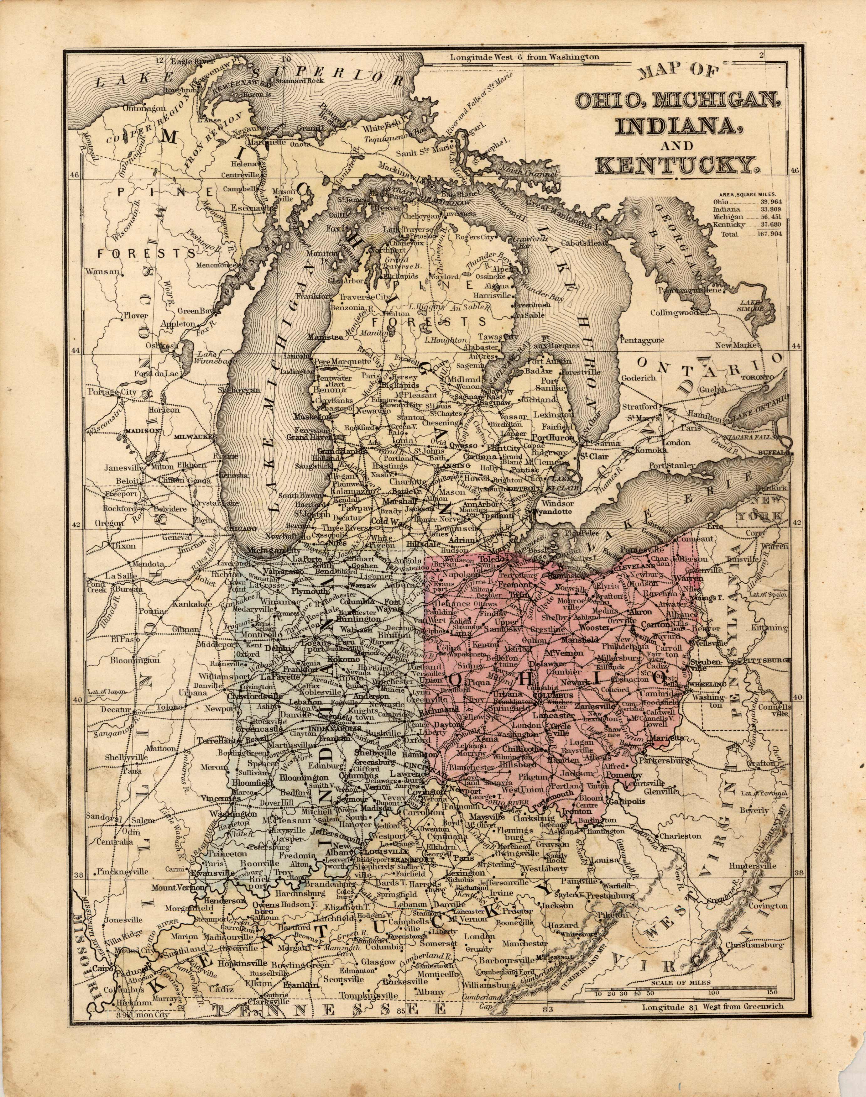
Map of Ohio, Michigan, Indiana, and Kentucky
In stock
This map was produced by S.A. Mitchell in 1878 for his New Intermediate Geography. The map is nicely hand water-colored. Soon after this time period all maps were mass produced using printed color plates.
Size: 8 x 10.75 inches
Condition: Very Good, light age toning and foxing
Map Maker: S. Augustus Mitchell
Coloring: Hand Colored, Steel Engraving
Year: 1881
Condition: Very Good, light age toning and foxing
Map Maker: S. Augustus Mitchell
Coloring: Hand Colored, Steel Engraving
Year: 1881
In stock


