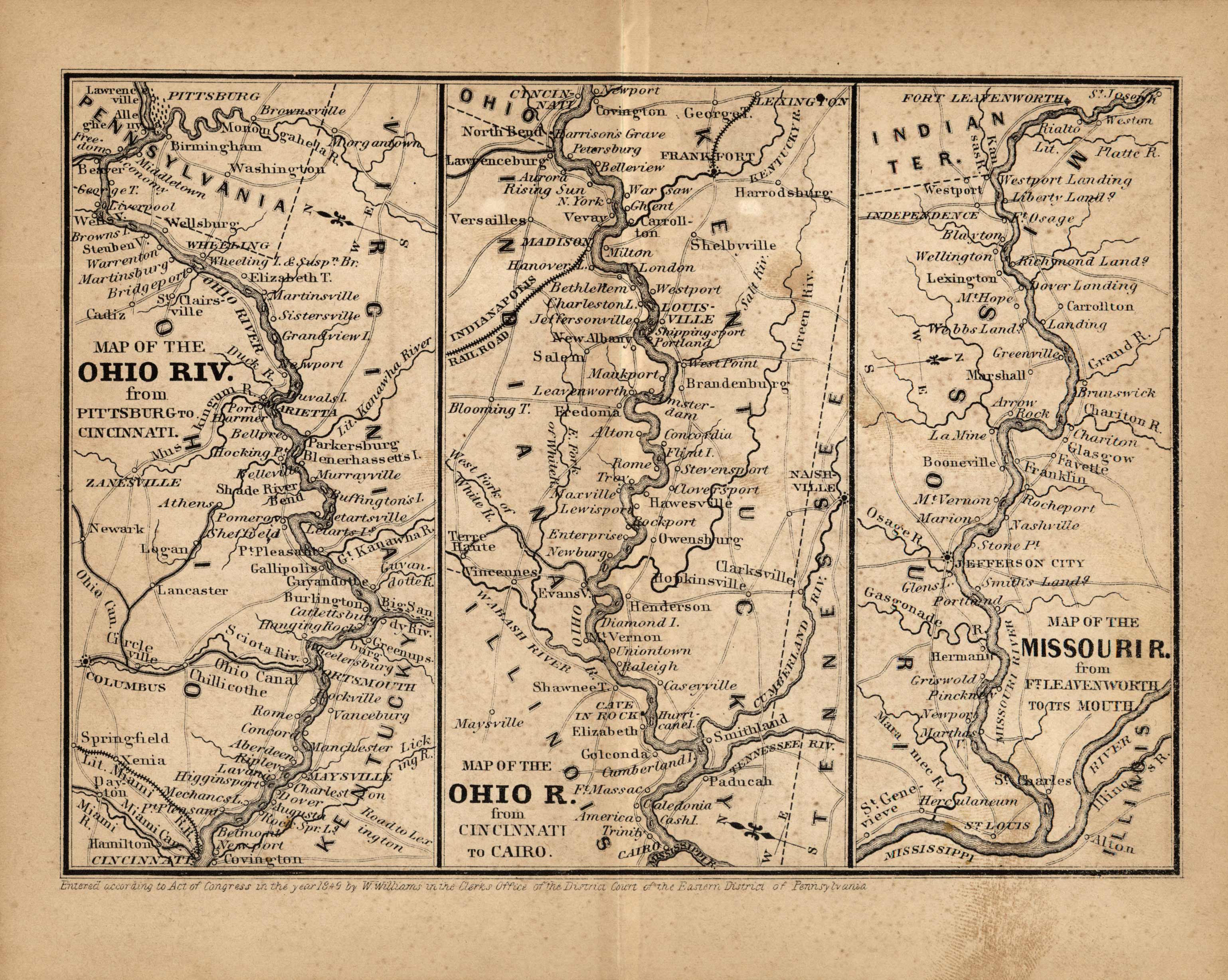
Map of the Ohio River from Pittsburg to Cincinnati, from Cincinnati to Cairo, and Map of the Missouri River from Ft. Leavenworth to its Mouth’
In stock
Published in 1849 from Appletons Railroad and Steamboat Companion, Being a Travellers’ Guide through the United States of America, Canada, New Brunswick, and Nova Scotia by Wellington Williams. These small maps detail the areas through which the railroad routes pass, in the Northern, Middle and Eastern States. This is a three part map showing the map of the Ohio River from Pittsburg to Cincinnati, and from Cincinnati to Cairo, and also a map of the Missouri River from Fort Leavenworth to it’s mouth.
Size: 7 x 5 inches
Condition: Very Good
Map Maker: D. Appleton
Coloring: Black and White
Year: 1849
Condition: Very Good
Map Maker: D. Appleton
Coloring: Black and White
Year: 1849
In stock


