Map of Zanesville, Ohio
In stock
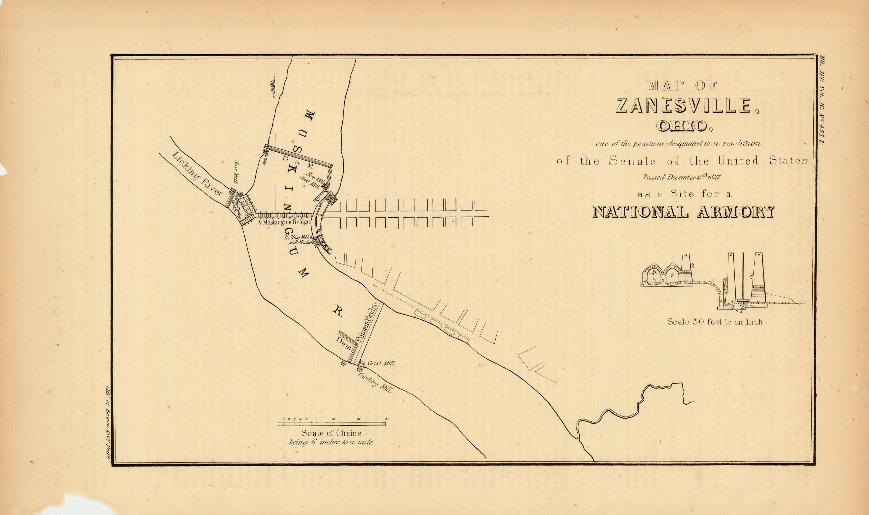
This 1827 map is a “Map of Zanesville, Ohio – one of the positions designated in a resolution of the Senate of the United States, passed the December 18th, 1827 as a Site for a National Armory”.
Size: 10.5 x 6 inches
Condition: Very Good
Map Maker: U.S. Government
Coloring: Black & White
Year: 1827
Condition: Very Good
Map Maker: U.S. Government
Coloring: Black & White
Year: 1827
In stock


