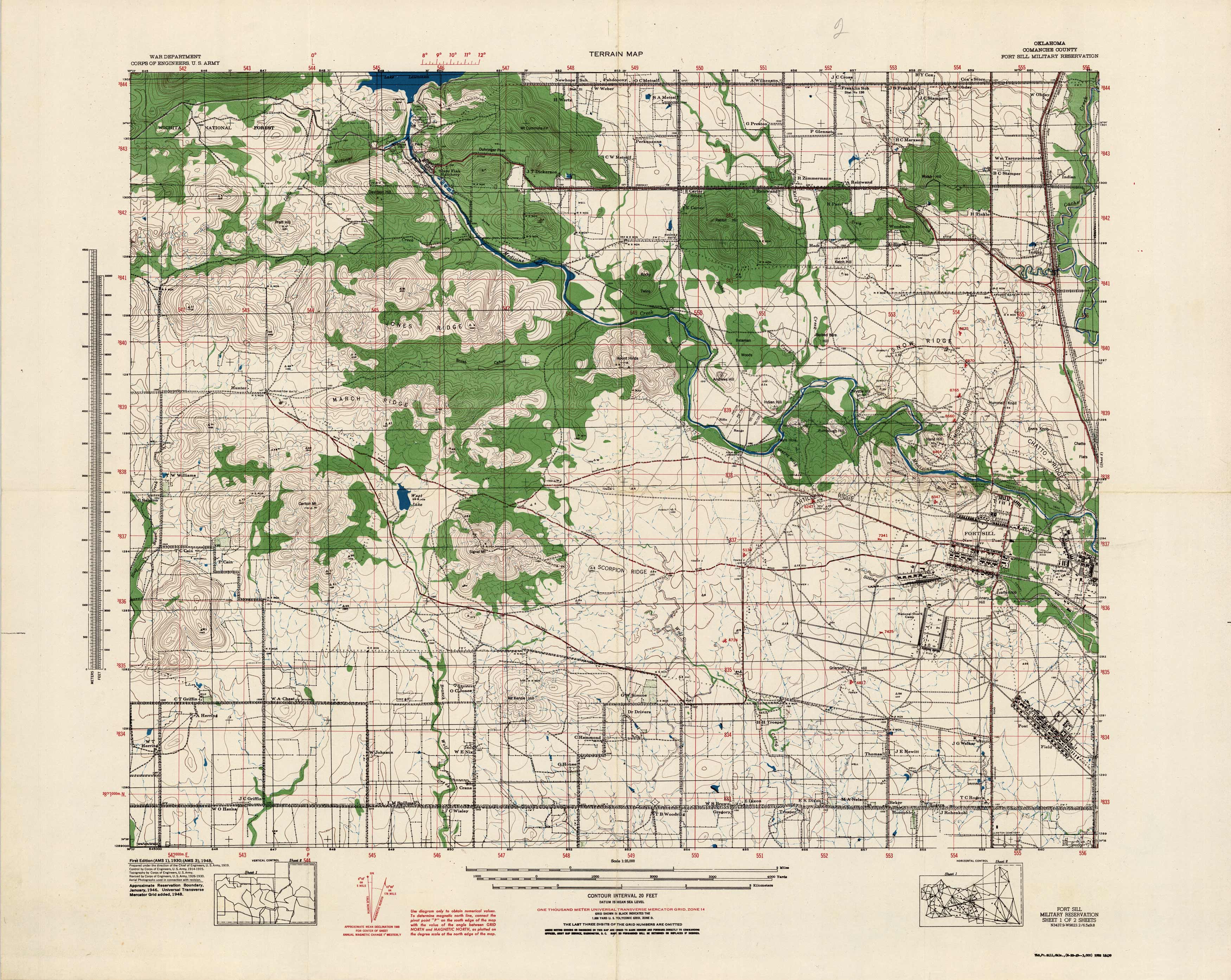
Terrain Map – Oklahoma Comanche County, Fort Sill Military Reservation, Sheet 1 of 2
In stock
This terrain map of Fort Sill in Military Reservation in Lawton, Oklahoma was done by the War Department, Corps of Engineers, U.S. Army, last revised in 1948. This is sheet 1 of 2 covering the Wichita National Forest to Fort Sill base. Topographic land features and names of those in the area.
Size: 25 x 22 inches
Condition: Very Good
Map Maker: U.S. Corps of Engineers
Coloring: Printed Color
Year: 1948
Condition: Very Good
Map Maker: U.S. Corps of Engineers
Coloring: Printed Color
Year: 1948
In stock


