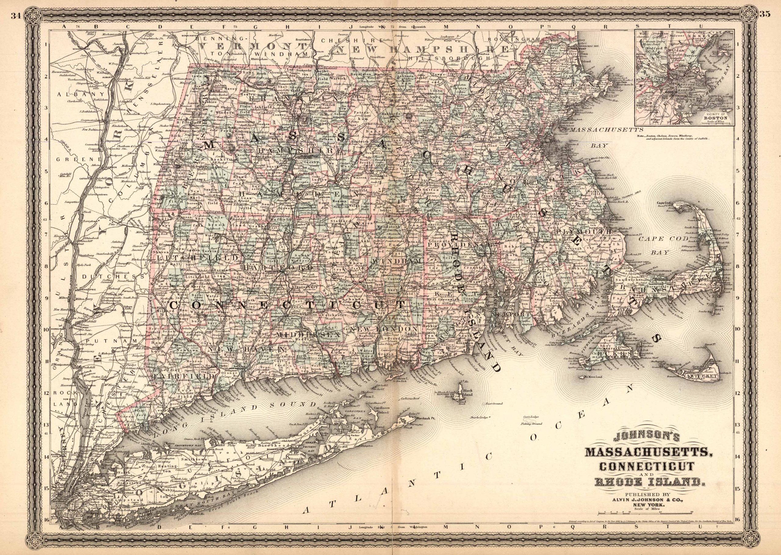
Massachusetts, Connecticut, and Rhode Island
In stock
This 1883 map by A.J. Johnson shows Massachusetts, Connecticut, & Rhode Island. This map names cities, islands, mountain ranges, railroad lines, deserts, bodies of water, and more. This series of maps are very unique in that they’re the latest we’ve seen, in over 30 years of collecting, by famed cartographer A.J. Johnson. An enthralling and informative find!
Size: 23 x 17 inches
Condition: Excellent
Map Maker: A.J. Johnson
Coloring: Original Hand Coloring
Year: 1883
Condition: Excellent
Map Maker: A.J. Johnson
Coloring: Original Hand Coloring
Year: 1883
In stock


