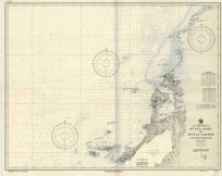
Map of Improving Harbor at Charleston, South Carolina 1889
Map of Improving Harbor at Charleston, South Carolina showing the jetties and latest soundings to June 30th 1889, under the direction of Captain Frederick V. Abbot Corps of Engineers U.S.A., James P. Allen Assistant Engineer. This map is accompanied by a key that helps indicate the soundings and also showcases Morris Island, Fort Sumter, Fort Moultrie, Sullivan’s Island, and the South and North Jetties.
Size: 22.75 x 17.5 inches
Condition: Very good
Map Maker: U.S. Corps of Engineers
Original Production Year: 1889
Coloring: Black & White
Year: 1889
Condition: Very good
Map Maker: U.S. Corps of Engineers
Original Production Year: 1889
Coloring: Black & White
Year: 1889


