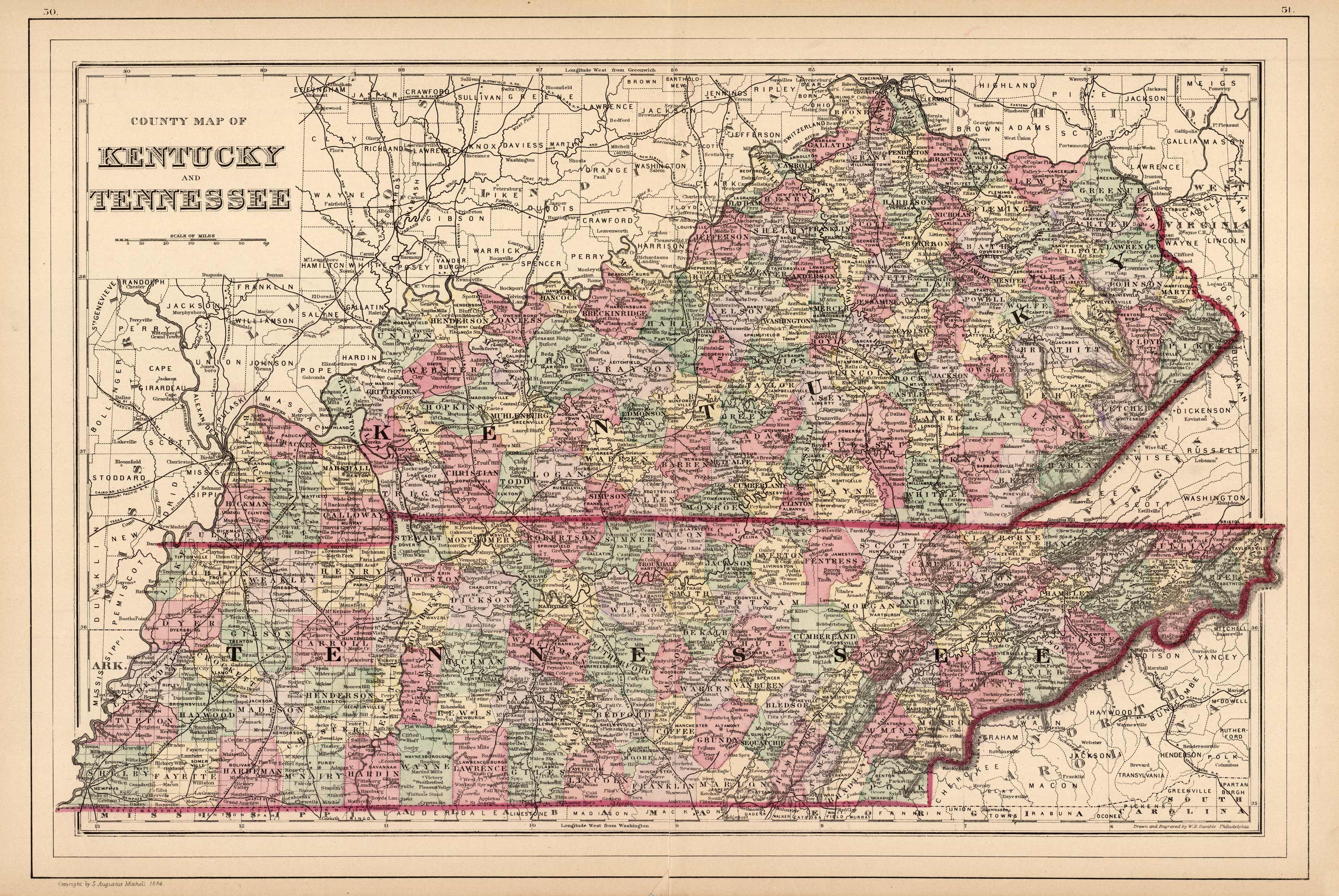
County Map of Kentucky and Tennessee
In stock
This map was made by S. Augustus Mitchell for “Mitchells New General Atlas” published in 1885, by WM. M. Bradley & Co. The well maintained maps in this atlas feature Mitchell’s characteristic pastel coloring and abundant details of geographical features. The states of Kentucky and Tennessee are illustrated. Details include the names of counties, cities, towns, rail road lines, transportation routes, and rivers. Counties are differentiated by coloring. These 1885 maps offer a fascinating perspective of areas that have since undergone significant growth and change, in addition to their value as great examples of Mitchell’s work.
Size: 20 x 13 inches
Condition: Very Good
Map Maker: S. Augustus Mitchell
Coloring: Original Hand Color
Year: 1885
Condition: Very Good
Map Maker: S. Augustus Mitchell
Coloring: Original Hand Color
Year: 1885
In stock


