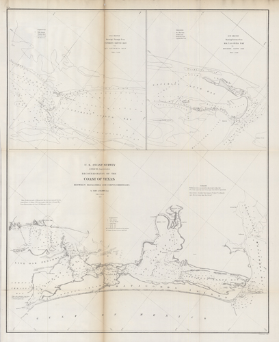
Reconnaissance of the Coast of Texas Between Matagorda and Corpus Christi Bays
In stock
This black and white, antique coastal survey was made for the United States Coast Survey. This map shows Matagorda and Corpus Christi Bay in Texas; it details bays, shoals, bottom conditions, islands, passages, lakes, and steamboat passes. Relief is provided by shading, soundings and depictions.This map contains some brief notes, explanations, and remarks. Sold folded as issued.
Size: 19 x 24.5 inches
Condition: Fair - some paper loss & archival repairs along folds
Map Maker: U.S. Coast Survey Office
Coloring: Black and White
Year: 1858
Condition: Fair - some paper loss & archival repairs along folds
Map Maker: U.S. Coast Survey Office
Coloring: Black and White
Year: 1858
In stock


